The Benson Lake Loop

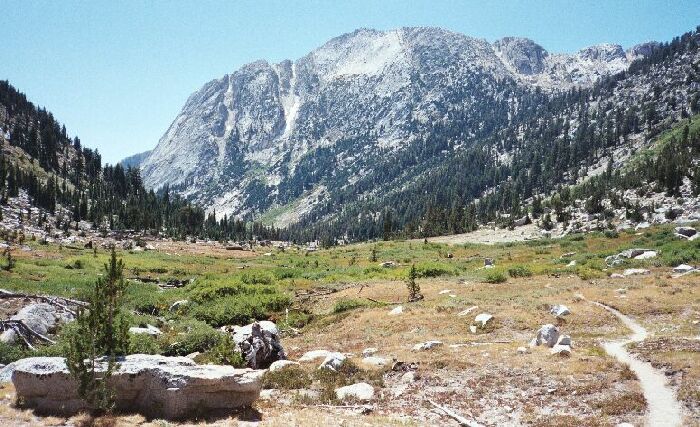
Just below the camp site there is the meadow that could be plainly seen from Burro Pass. To the right you can see the trees leading up to a hanging valley below Quarry Peak mid picture.
Lower Matterhorn Canyon
The Benson Lake Loop, August 2002
Back on the trail. The meadow below camp was not a classic meadow like in Deadman Canyon, Cloud Canyon, along the Kern-Kaweah or other open flat expanses. Rather it was rolling terrain covered with grass and bushes in patches and some small flat meadow sections. Some of the plant-life was from the desert community and spoke of the porous nature of the ground. I was in the edges of the big tree country now, so there were some tall fellows competing with the smaller ground hugging sorts.Nearing the "elbow" of this lower canyon segment, one last look back at Finger Peaks (left), Sawtooth Ridge (center) and Matterhorn Peak over the meadow.
As I neared the elbow of the canyon I could look up to the obvious hanging valley between Doghead and Quarry Peaks. I also looked for and found signs of ducked routes leading up to that hanging valley and beyond. It looked enticing, and a possible route to explore the region between Rock Creek and Matterhorn Creek. A better access point would be along Wilson Creek, and some of the high-points would be seldom visited Tallulah and Doe Lakes, lower Slide Canyon, and a meadow at the junction of Camp Creek and Slide Creek that is nearly a half mile long below a 1500 foot wall.