A Backpack to the Remote Lyell Fork of the Merced River
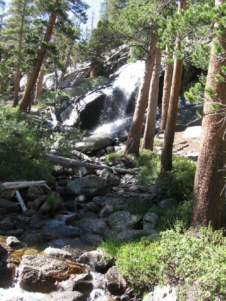
The waterfall near "Waterfall Camp".
Leaving Waterfall Camp
A Trail and Cross-Country Route to the Lyell Fork, July 2007
DAY 4, 7.8 Miles, 2046 feet of gain and 2502 feet of loss from "Waterfall Camp" to Babcock Lake.
We were up at the crack of dawn, and Dave in particular was anxious to get going. He was still not feeling well. As light hit camp, we were on the trail.
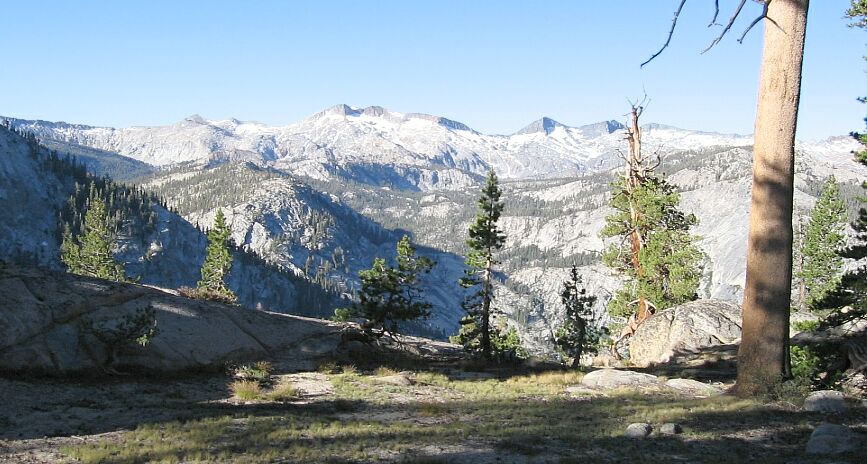
Looking towards The Merced Peak Fork canyon from the trail early morning.
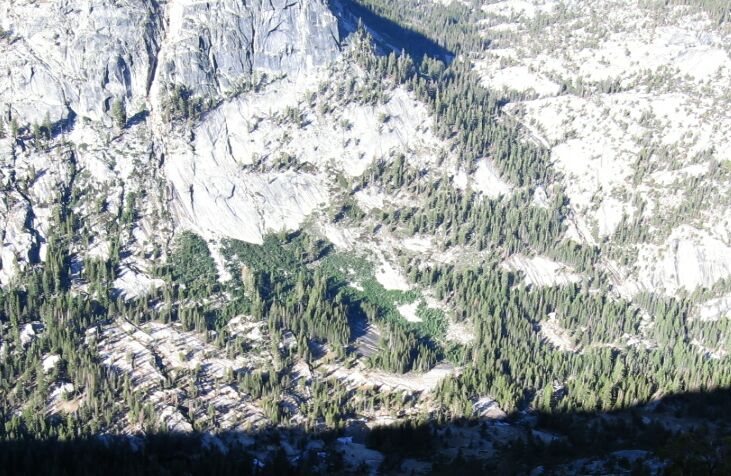
Looking at the cascade of the Triple Peak Fork.
The only steep section of trail on this section of the High Trail came immediately after the falls in a steep exposed rocky stair-filled joint. Thereafter it leveled out a bit while still climbing and entered shade. It would be easy trail until we hit the switchbacks below Babcock Lake.


