A Backpack Cross-Country Traverse of the Minarets
This trail to Cecile Lake is pretty well defined...here any way. It progressively become a narrow track, and in some years, disappears into snow. Still, it can be plainly seen all the way up.
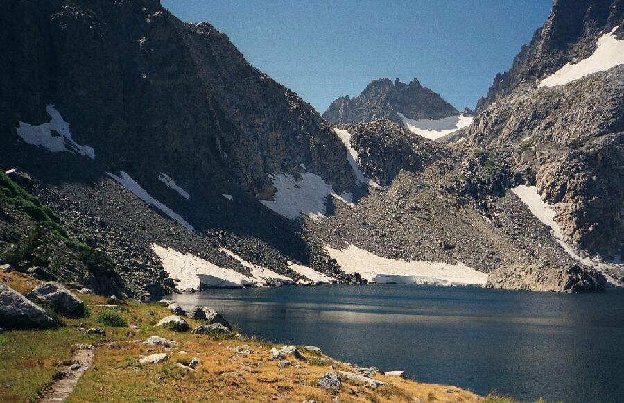
Iceberg Lake "Trail"
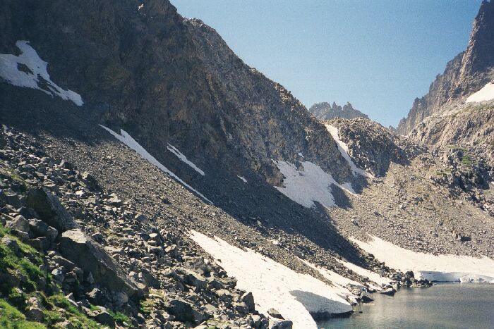
A Cross-Country Traverse of the Minarets, August/September 2006As I said previously, this trial from Cecile to Ediza Lake drops steeply for at least 100 feet before side-hilling along the bowl of Iceberg lake.
Let me take you back on a trip to 1999, when all of the rest of these pictures were taken. Then I was recovering from a broken leg from the previous year, my ankle was still sore, and I was still a bit freaked out about risky routs, in particular by myself. I went a good deal of the ways up that trail you can see above till I got to that last steep 100 feet of gain and stopped. My ankle was really hurting from all of the hiking and the rest of the way was obviously going to put a lot of stress on my body, in particular my howling ankle. So I gingerly turned around on that narrow track and limped back the way I came. Having seen it on both sides, it was the right thing to do. As a bonus, it allowed me to finish a stretch of the JMT I missed out on because I had to leave the JMT at Shadow Lake to get to town to fix a busted hip belt.
There are times of the year doing this stretch of trail is not trivial: often the "trail" is covered with snow with the added attraction of a swift ride into Iceberg Lake..or into rocks. You had better have an ice ax if you are doing this any earlier than late season.You can just make out the "trail" up the slope/wall below Cecile Lake. The shadows tell the tale of steepness. A lot of people do this route.
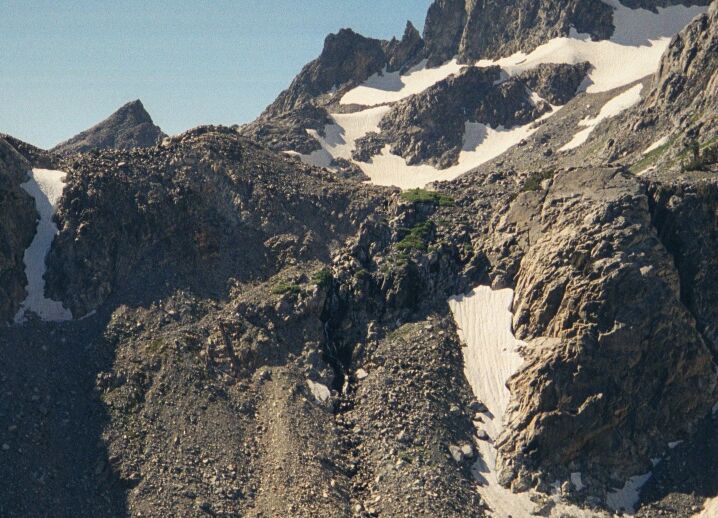
But there are other reasons to visit this lake, for example...Another view of the slope of the "trail" leading up to the pass to Cecile Lake.


