The Ottoway Lakes Loop

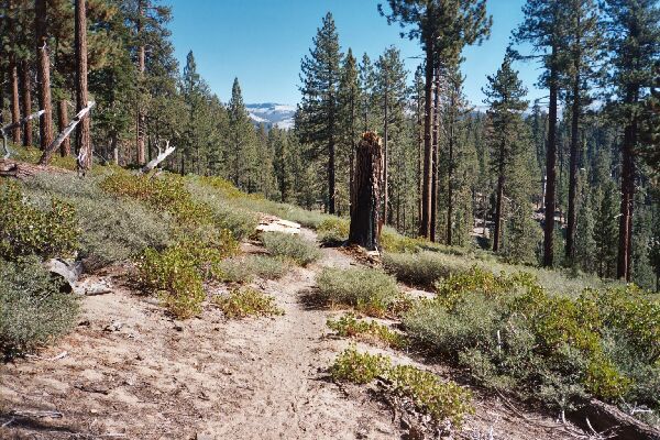
Typical trail of the lower part of the basin. Here we are north of the creek and looking east up-basin, near the Clark Fork.
Heading Towards Clark Fork
The Ottoway Lakes Loop, September 2004 Taking a right at the junction, the trail kicks things up into a higher gear, heralding the beginning of a predominantly uphill trend. Over the next increasingly shaded mile and a half near a seasonal stream (dry), the trail gained over 600 feet to a junction beneath a looming smooth round dome (Point 7669). Some peculiar pale late season flowers threatened to overwhelm the trail in spots.I took a right at the junction, and for a spell the trail leveled out, but soon began to climb somewhat sharply again beneath dome 8051. After a while I came to a dry seasonal stream off the shoulder of Point 7839, which incidentally looked to be a good jumping off point to travel up to Starr King Meadow and Mt. Starr King. Shortly afterwards, a waterfall came into view (which should be glorious early season). A few more yards down the trail I came to the Clark Fork creek and after a dance across the stones of the fairly briskly running creek, I arrived at an excellent camp to the left of the trail. As it would turn out, this creek would be the last good water between the Clark Fork and Lower Merced Pass Lake.