The Ottoway Lakes Loop

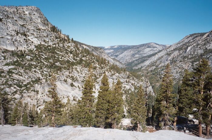
The view down the Merced River Canyon from the flat granite platform seen in the picture below. If you look near mid picture, you can just make out part of Washburn Lake. Above and beyond to the right of that lake is the Lewis Creek Canyon on the right canyon wall.
The Five Canyons
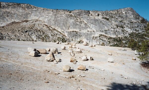
The Ottoway Lakes Loop, September 2004Before long, the view down canyon opened up and I got my first glimpse of a junction of five canyons from a high lip of solid white granite above all. (In case you are wondering, it is a junction of Lyell Fork, upper Triple Peak Fork, Merced Peak Fork, Red Peak Fork, and Merced River Canyon.) Just before the trail began its serious drop downward, it came near a huge open granite section, a dome of clean white granite with a nearly unobstructed view of the whole tableau before me. I dropped my pack and grabbed my camera and began to explore.
 The lookout granite dome mentioned in the text. A sprinkling of small erratics decorates the glacier smoothed pavement. The point on the right horizon is 9296, and there are small lakes/tarns up there.
The dome had a few erratics for decoration, and past them was a steep verge and cliff for good views all around. Looking up the Merced Peak Fork was the big payoff. Looking further to my left was a small ridge that went out to a point I could climb out on and get to an exposed point for lofty views all around. A quick scramble got me out to the furthermost point and a great view up the Merced Peak Fork. I knew then without a doubt that anyone traveling down that canyon would not have too much trouble coming down the huge exposed solid granite face that was just one gigantic sheet of solid rock. There was even a lightening bolt joint going down the face with a small tree or two and grass that would guide the cross-country traveler safely down the face to the trail. Looks can be deceptive, but it looked OK to me from every angle I examined it while in the canyon.