A Short Trip in the Pioneer Basin Area
Looking back north near mid-point of lake 10862, near the outlet on the right. The pass into McGee can be plainly seen backlit by clouds.
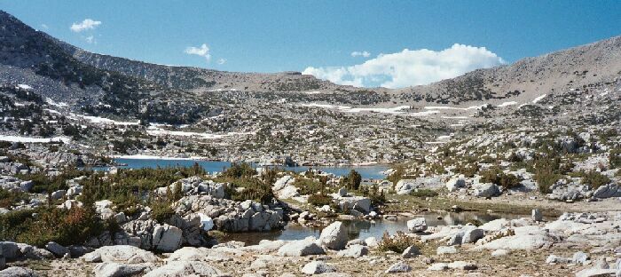
Largest Lake 10862
A Pioneer Basin Trip from Edison Lake, June 2003
We quickly reached lake 10862 and its small outlet. As expected, I found a very well defined horse compacted trail heading back down to the southeast. I followed it a ways till it began the plunge downward. I have little doubt it makes its way to the lowest large lake of the basin (Lake 10390) with perhaps a spur to the meadow to the east of that lake, which is along the main trail. Trail or no trail, travel would still be easy.
The lake itself was another rocky affair with severely stunted trees. I saw no established camps, but I bet a bit if searching would have turned up a few suitable established places. Everything looked fairly pristine, with only the trail as evidence of the mark of humankind.
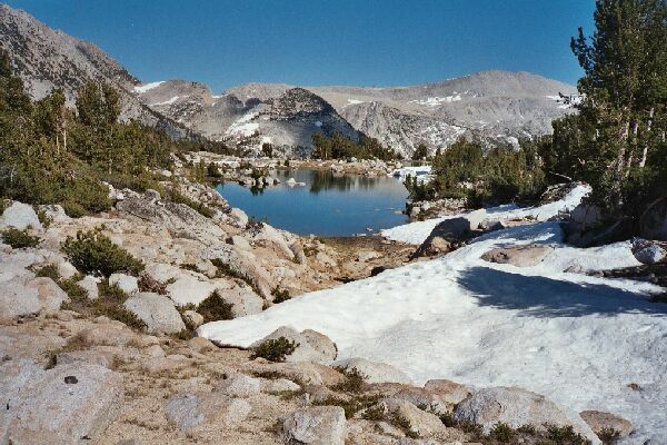
A true tarn on the bench above our camp. Note the footprints in the snow. The map says we went around the other side of this tarn, but really we went around the west side. Either way is good.
We headed up to the small plateau to the south for more easy walking over sandy flats and stands on stunted trees. The trees were getting bigger, a nice decoration for the predominately rock studded gruss that made up the majority of the landscape. We still had to navigate the occasional band of snow, in particular to the west of a large pretty tarn almost dead center on the plateau. The tarn nicely reflected the Mono Divide in its calm waters. We should have spent more time walking completely around that little lake, just for the sake of curiosity.
Before long we came to the shore of our camp lake and our camp. Time for camp chores, clean-up, food and a moment or two to relax.