The Grand Canyon of the Tuolumne and Falls

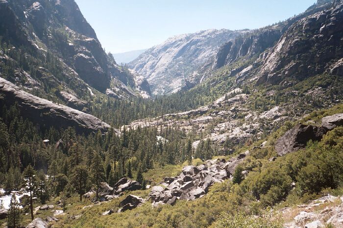
Looking down-canyon from near Waterwheel Falls. Falls Ridge is on the left.
Falls Ridge
The Grand Canyon of the Tuolumne and Falls, June 2004The trail now entered the Falls Ridge canyon and began an accumulated climb of about 900 feet over less than two miles, where it met a flat area just before the Return Creek Bridge. Beyond Cathedral Creek, the trail hooks around a headland of Point 6140 and climbs northeast where the canyon gets progressively narrower. North across from point 8395 on Falls Ridge the canyon is at its narrowest and begins to widen again as it heads east. It was in this hot and often exposed section that I was really starting to look forward to camping, although I was quite ready to do what it took to get there. Meanwhile, the views remained impressive with the rushing river on one side and towering granite walls on both sides.
The rock walls of Falls Ridge where the canyon narrows and the Tuolumne becomes roaring whitewater rapids.
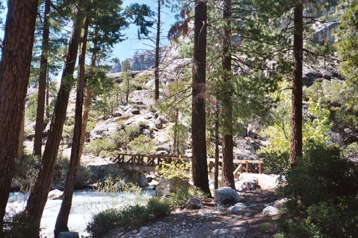
I was glad when the trail leveled out, but not too amused that the area was hot, exposed and rocky. I slogged along and was relieved to see the Return Creek bridge (possible campsite), both because it was there (no wet crossing over dangerous waters), and I needed water. I downed my pack in a very nice park-like area near the bridge and enjoyed a short rest, snack, water refill and fine surroundings. It was a good idea to rest because a 600-foot climb over less than a half a mile to the top of Waterwheel Falls awaited me. And hopefully thereafter a campsite would turn up.

The Bridge of Return Creek (looking down-canyon). I was glad it was there.
Back on the trail, the climb up to lip of Waterwheel Falls was all that I expected and more, with outstanding views back along the canyon, as seen in the picture at the top of this page.