Mt. Whitney From Cottonwood Lakes
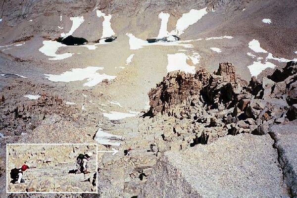
The rock climbers went down the gully to the west of the Mountaineer Route and crossed the ridge on the right through a notch. It actually looked better than the Mountaineer Route, at least the top part.
A Mountain StudyMt. Whitney Trip from Cottonwood Lakes Trailhead. June 2000.
The rest of our time was spent eating lunch and taking pictures. While the mountain itself seemed somewhat ordinary close at hand, the views from the top were indeed something special to behold. From the summit rocks on a clear day like the one we had, you have a perfect 360-degree view that stretches literally hundreds of miles in all directions. Most interesting to me, my beloved Great Western Divide was plainly in view and I enjoyed ticking off all of the peaks I recognized. Of special interest to me were the jagged peaks above Kaweah Basin, which I was seeing for the first time from the east side. I have long planned a visit to that basin.At the base of the peak was Iceberg Lake, filled with icebergs, and to the north-east I could see Tulainyo Lake (WL 3908 m.), the highest large lake in the Sierra. Many of the peaks I stared up at from camp were mere low hills below me, and many nearby peaks looked like they were only a few feet short of challenging Whitney in altitude. To the south I could see that the Sierra was running short of large peaks and was trending to be represented by tree covered low looking hills. To the north it was another matter altogether, with jagged high peaks covering the horizon. To the east the mountains of the east looked blue, hazy, rounded, and mysteriously foreboding. In the direction of Death Valley the mountains parted or became low rolling hills lost in the mists of distance. The sky was the deep blue you can only see at high altitude.


