Woods Creek and Lakes
The reason many hikers visit Paradise Valley. This is looking up canyon towards Upper Paradise Valley.
Paradise Valley
Woods Creek and Lakes, SEKI, Spring 2005We made a short stop in Paradise Valley to charge the water bottles. There are extensive camps and numerous bear boxes in the area, yet people still lose their food to bears. The best place for water is a small stream at the north end of the camping area.
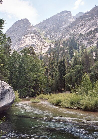
The South Fork of the Kings River and the canyon walls and un-named ridges.
We hit the trail and continued on up-canyon, hopefully making enough noise. There are plenty of bears in the area (we met some late at night on earlier trips) that are more than interested in backpacker food. We saw none of the critters, who had probably given up and gone to bed. It was still pretty early morning.
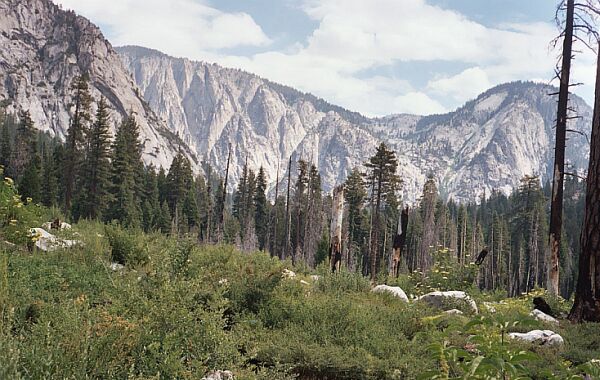
On the right horizon can be seen the cut of Arrow Creek. Early season you can see the lightening bolt of Arrow Creek. Up ahead, upper Paradise Valley and the entrance to the Murro Blanco.
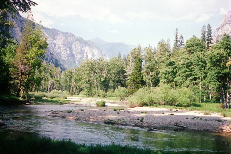
Once in a while in an open area or avalanche zone, we could see some far views, but mostly the valley is heavily wooded. At one point we could clearly see upper Paradise Valley and Arrow Creek, something we wanted to examine closely. People have been up that route, but none had good things to say about the lower part. We could see why.
In quick order we reached upper Paradise Valley and found a nice secluded camp for the day. After lunch we day-hiked further up the trail almost to the Castle Domes overlook (we should have just packed to Castle Dome Meadow) to check some routes up the north wall to Arrow Basin.
The "bridge" over the Kings River was a mess. The bridge log had been moved by the previous heavy winter and the east end was a treacherous log jam. We learned that the park planned to put in a permanent bridge later that year. Fat a lot of good it would do us that trip. That bridge was long over-due.
Back at camp we rested and killed time. I looked at the old "trail" to the Murro Blanco, which was even more overgrown than when I last visited it. We looked forward to the next day of hiking.