Woods Creek and Lakes

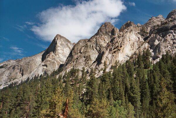
Castle Domes, an interesting sight mostly for rock climbers.
Castle Domes
Woods Creek and Lakes, SEKI, Spring 2005Day 3: The evening before a spent some time sitting and examining the fairly impressive Castle Domes. As usual, I was amusing myself by looking for routes through the granite mastiffs, and there seemed at least one route that looked like one could get a good ways up. Interesting, but I was more interested in "Window Lake" on the other side of the domes.
Today we would get in a much longer hike, all the way to Woods Lakes. When I had visited that area some years ago doing the John Muir Trail (going south), some of my most vivid memories were from along branches of Woods Creek: the calm mirror lake with far views near BM 3326T, the outlet of Twin Lakes and the mysterious looking turnoff to Woods Lakes basin. Now finally I would get as look at those lakes and that basin.
We hit the trail early as usual and began the moderate wooded climb below Castle Domes. We were over 8000 feet now and the terrain was beginning to look more alpine. The trees were beginning to thin out as we climbed higher. In places the trail was straight as an arrow, and at one point I could look a good distance up the trail.
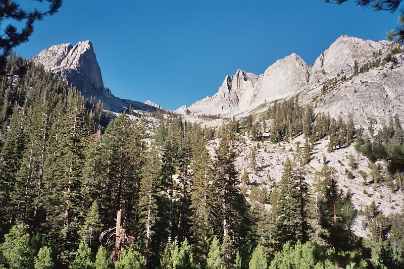
The bottom end of glacier carved "King Col Basin". The cross country looks very easy...if you can get across the river.
One of my goals was to examine and take pictures of what I call the "Kings Col Canyon" the wide glacier carved canyon just to the northwest of Mount Clarence King. Up in the canyon is a collection of good sized lakes, five in all with some satellite ponds. Also of interest is a col called "King Col", a class 2 pass that connects Gardiner Basin to "Kings Col Canyon". I think if I knew then what I know now, I would be writing about the trip up that canyon instead of Woods Lakes. Well someday soon I hope...

Another look at the bottom end of "King Col Basin" canyon.
Sure enough, the route up into "Kings Col Canyon" looks fairly easy. The real trick is getting across Woods Creek, which did not seem an easy task from the vantage point of our camp. Alternatively, one could always cross at the Woods Creek Bridge and head south to the canyon entrance. The map suggests there may be some bush to contend with.