The Benson Lake Loop

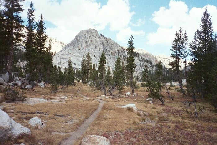
An un-named peak north-west of point 9477, and we are looking north. This trail is no PCT, but a true wilderness trail
Vast Meadows
The Benson Lake Loop, August 2002
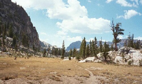
A bit more hiking and I emerged into what was to be the theme for the rest of the day: broad sandy exposed meadows flanked by granite walls of various heights and shapes. The whole route to the Peeler Lake junction was a series of large meadow areas, with the section beyond Arndt Lake being almost one long continuous meadow. Further, most of the time the hiking was almost level in effort, with a few rougher sections separating some meadow sections. The lower section I was in contained charming sandy pocket meadows surrounded by tree studded granite domes and small ridges. The trail tended to be a narrow sandy track for the most part, as opposed to the sometimes-broad avenues of the PCT.
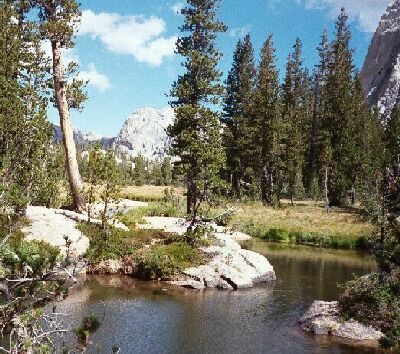
Rancheria Creek, a creek I have see a lot of over the years. It adds it waters to Hetch-Hetchy at Rancheria Falls. This is looking north, south of the creek crossing.

Looking back (south) towards where the picture above was taken, south of point 9477, north of the creek crossing. I had a snack break on those rocks to the right.