The Benson Lake Loop

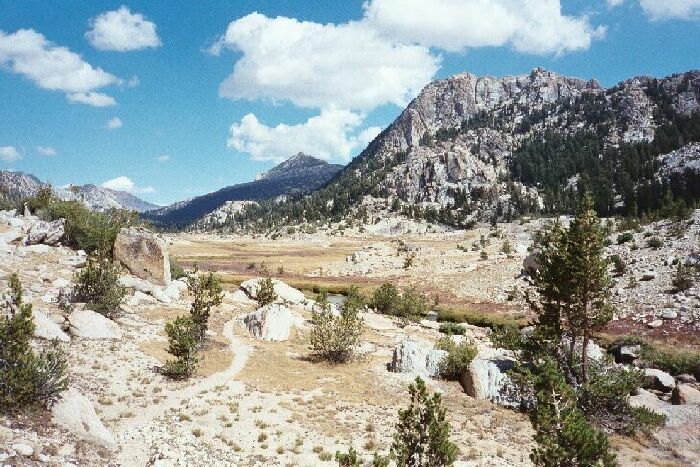
After traveling through the rocky choke-point canyon seen in the picture below, the scenery opens up in a big way. Up ahead I crossed the creek and headed around to the canyon on the right in open meadow, which cannot be seen here. Crown Point can now be seen at about mid-picture. Note the trail.
Heading for Arndt Lake
The Benson Lake Loop, August 2002
After passing through a series of meadows, some with inviting side canyons with secrets of their own, I reached a rocky passage with some easy climbing that debauched into a huge broad sand and grass expanse of alpine tundra north of Arndt Lake. I was toying with the idea of staying at that lake, but I would at least visit it. I found a reasonable dry place to cross the turgid creek, no worse than the previous crossing down canyon, and marched over the open prairie valley leading to Arndt Lake.Looking up the canyon choke-point and the only real rough trail of this section. This is west of Arndt Lake and north of point 9477. This would be a better picture early season with more water in the creek. Then again, the creek crossings would be much harder.
This was the easiest cross-country possible, and before long I passed a use trail coming down a slope on my left. I passed this trail and headed for the outlet where I made my way up a moderate slope into trees and green grass and reached the lake.