Kern-Kaweah and Kaweah Basins
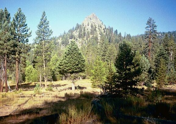
A view of The Sugarloaf from the trail as I headed towards Roaring River.
The Sugarloaf
Kern-Kaweah and Kaweah Basins via Colby Pass, September, 2000.
September, 2000. Day 2
We wasted little time with morning chores and breaking camp, and before long, we were back on the trail. The day warmed up rapidly and all too soon I was hot and sweaty in the unnatural heat. Fortunately, the first section was an easy lope around the outskirts of the Sugarloaf, affording me views of Sugarloaf from a variety of different directions and elevations.
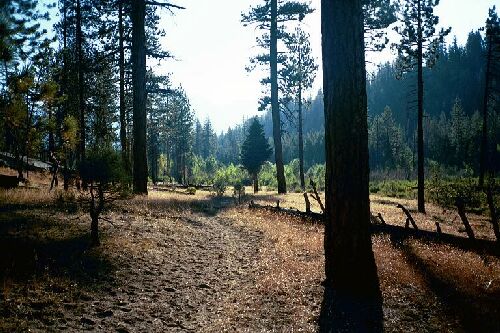
Early morning on the trail near the first creek crossing near The Sugarloaf.
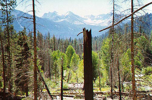
After a creek crossing (a wet crossing perhaps early season) to a large camp, the trail began to climb moderately to gain just enough elevation to view a fair portion of the valley now and then. The last good view of the Sugarloaf was seen while climbing up to and cresting a low sparsely wooded ridge before plunging into thick forest. Here the trail undulated in the typical Sierra fashion but still remained only mildly strenuous.
The view across Sugarloaf Valley towards Mt. Brewer.
A small creek was passed before the more active Ferguson Creek (wet crossing early season) was reached and crossed. Here was a spot I remembered from the previous trip. What I remembered was a long and annoying climb to the crest of the huge moraine of Roaring River, and it was still fairly long and annoying the second time. It was a long moderately steep mostly exposed trail, I had eight days of food in my heavy pack and it was hot as thunder. In short, it was a slog..
From the highpoint on the Moraine looking towards down at the cut of Roaring River and the entrances of Cloud Canyon and Deadman Canyon.
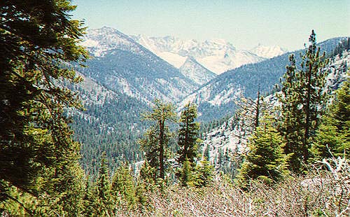
The trail finally crested the moraine after several false summits, but I easily recognized this apex and the views as I approached. What I remembered was a curious fishhook in the trail right at the crest that went around some rocks and trees. I don't know why that spot stuck in my mind. I stopped by a convenient rock to fiddle with my pack (and a heat rash) and ate something while Dave opted to push on. The views are not bad at this point. You can look up canyon where the Ranger Station must be, and see the entrance of both Deadman and Cloud Canyon. The Great Western Divide was in full view, at least the north end of it, and Palmer Mountain loomed overhead above a perfect moraine. I knew that the moraine held the trail to Avalanche Pass, a trail I have done most of, but not all. About the time I was ready to proceed, a pack train pulled up and stopped. I patiently waited for them to move on (I did not want to spook the horses), then headed down.