Kern-Kaweah and Kaweah Basins

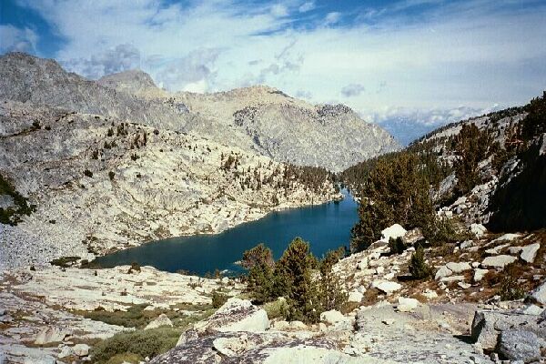
Looking back at long skinny Colby Lake in its rocky bowl. The highest point on the left horizon is the sumit of The Whaleback. The camp area is to the right of the lake below. The far peak on the left horizon is the high-point of Glacier Ridge, and it is well over 12,000 feet. Treeline country at last!
On to the Pass...
Kern-Kaweah and Kaweah Basins via Colby Pass, September, 2000.
After the crossing the trail immediately began to climb. The lake was in a small bowl within a larger bowl, and the first section was a hike out of the smaller bowl on good trail. The trail switchbacked up through rock and some occasional bushes, occasionally leveling out before climbing again. Eventually the lip of the smaller bowl was gained and we entered a large level grassy area perfect for a break before taking on the pass itself.
Colby Pass. You see the trail below, but where does it go? The trail is actually a very good pass trail the I swear looks maintained. By all rights, the park should be maintaining this trail! This section of the Sierra is excellent.
Looking up at the pass, the trail could only be discerned by the occasional unnatural rock work, but other than that it looked like a huge talus heap stretching up all the way up to the pass, which was a long way overhead. We were feeling pretty fit, so we push on without a rest-break.