A Backpack to the Remote Lyell Fork of the Merced River
Mommoth Mountain, the Kuna Crest and the opening of Lyell Canyon seen from the Toulumne River. A more moody day in 2005 made for fewer tourists.
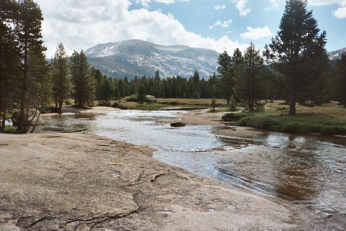
The Tuolumne River Dana Fork and Lyell Fork
A Trail and Cross-Country Route to the Lyell Fork, July 2007
We sped right along past the tourists and their usual gaggle of children to cross the Tuolumne River on a bridge to yet another junction. Turning left we followed a fairly shaded viewless section of essentially level trail for about .7+ miles to the Rafferty Creek Trail junction near another bridge. Taking a right we began to climb
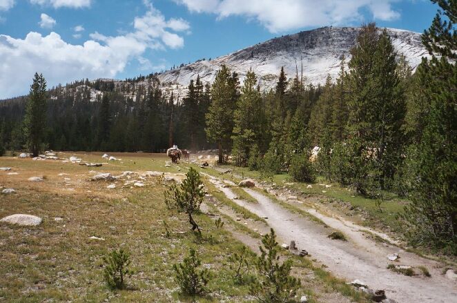
The major reason that this section of trail is so beat out: resupply pack trains to Vogelsang HSC. There is lots of dry meadow along this trail. 2005.
I should say this right away: for some reason, this trail from the parking lot to Vogelsang Lake is a very hard hike. It is a real test of endurance for a first Day full-pack hike: 8.8 Miles of 2123 feet of gain starting from as low as 8658 feet to 10,350. That is starting high and ending very high near the highest point of the entire trip. It is a grueling slog that only a few days in the backcountry can prepare you for. I walked that trail seven times over the years, counting both directions, and going up it was an unexpectedly tiring hike every time. My advice it to take your time and take it slow.
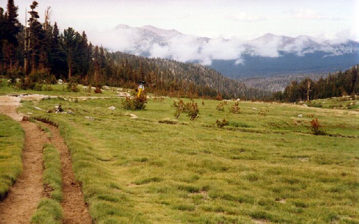
My brother on the trail and looking towards Lyell Canyon and the trailhead on a rainy 1991 August day.
From the Tuolumne River to Rafferty Creek in its canyon by trail is about 1.7 miles and 582 feet of climbing. It is the sharpest climb of the day and if you take it slow anywhere, this is the section to do that. I was determined not to exhaust myself before Vogelsang, so I chose a deliberately slow pace going up the canyon wall. Once the trail finally begins to approach Rafferty Creek in the canyon, the trail actually loses altitude for a ways until it reaches the creek. When we reached the creek, we downed our packs and got out our food for a late lunch. It was an obvious place to stop, with small cascades and pools and lots of level rock to sit on. It’s a good idea to rest often on this trail due to its mostly hot and exposed nature and its sections of steep climbing. On the way back we met a hot and sweaty backpacking party near here that asked, "Is Vogelsang much further?" Yes, it is a whole lot further.
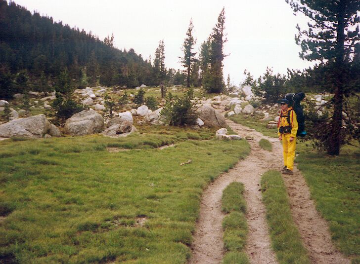
Another look at me in 1991 on a rainy day on a typical section of trail.


