A Backpack to the Remote Lyell Fork of the Merced River
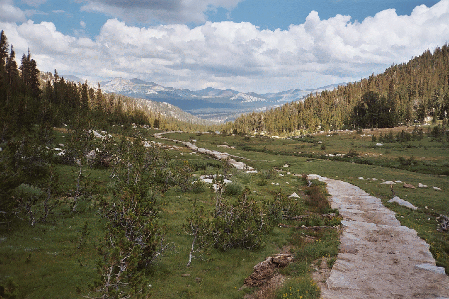
Looking down Rafferty Creek Canyon towards Tuolumne Meadows and Tioga Pass.
"The Causeways"
A Trail and Cross-Country Route to the Lyell Fork, July 2007
Back on the trail, it was the same long slog as every other time I have done this trail, but at least the scenery mostly makes up for the effort. The trail meanders back and forth, here close to the creek, there a good ways from the creek, passing through close and open forest and threading around green meadows or dry rocky terrain. I have always done this trail early season or in years the High Sierra Camp was closed (or at least not opened yet), so the trail was never as torn up as it usually is by the HSC camp re-supply horse traffic. We did see horse-train traffic this trip because the HSC was soon to be opened for the year. The trail was not too sandy and smelly yet.
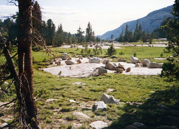
Another typical section of Rafferty Creek Canyon, with a nice selection of glacier erratics.
When we reached "The Causeways" (at about the 2/3 point of the days hike), I knew the real slog was to begin. "The Causeways" is what I call the built up trail platforms created by the trail crews to protect the high country meadows. Sometimes after the horses have beat to death the dirt in "The Causeways", the best way to hike the trail is on the rock on the sides of the trail. By the time I reached "The Causeways", I had already hiked 4.4 miles of just the Rafferty Creek trail for a gain of 1370 feet and a loss of 116, and when you add in the miles from the trailhead, we had already done a fair amount of hiking. With the "just steep and long enough to be hard and tedious" section of "The Causeways", you can see why this section can be particularly onerous.
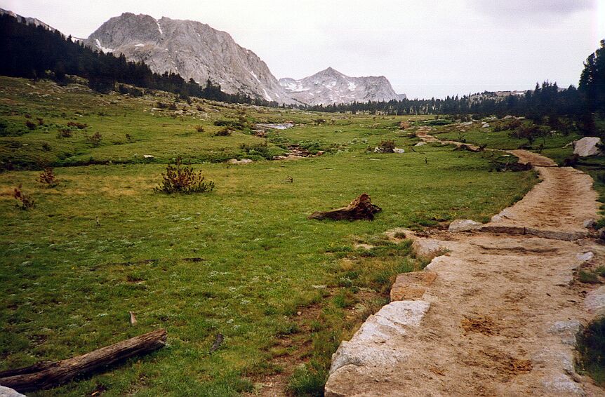
A section of "The Causeways" looking towards Fletcher Peak, Tuolumne Pass and Vogelsang Peak, 1991.
But because I had really taken my time on the trail, for once "The Causeways" did not seem as bad as past times. Soon enough we topped out at Tuolumne Pass on a high mountain meadow with small pools, but even so, the trail meandered here and there, up and down before it finally found the trail junction. The view back down the canyon is spectacular if you have the energy to enjoy it.
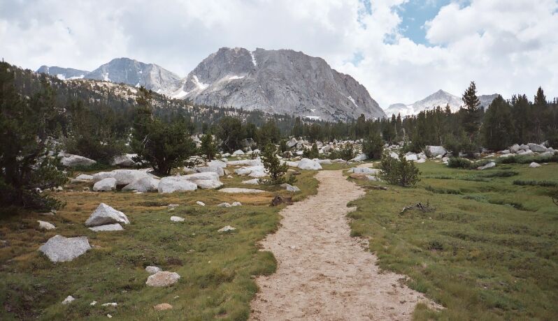
Near the junction of Tuolumne Pass looking at Fletcher Peak and Vogelsang Peak (pointed one on the right), 2005.


