A Backpack to the Remote Lyell Fork of the Merced River

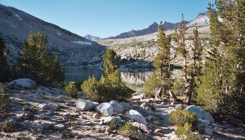
The trail takes you to near the outlet of Vogelsang Lake. Camping is to the right across the outlet. In the distance you can see Vogelsang Pass at the edge of the shadow.
Heading to Vogelsang Lake
A Trail and Cross-Country Route to the Lyell Fork, July 2007
Too soon the deet wore off and compelled us to leave and hit the trail. In a flurry of bug slapping and buckle snapping, we hit the trail at almost a gallop to outdistance the bloodthirsty swarms. From there the trail plunges downhill a ways to meet Fletcher Creek. I had found out in my too many visits that the best way to cross the creek was to leave the trail about 20 yards before the horse crossing and head down hill to the stream, hang a left, and find a series of step-overs to cross the stream and the marshy meadow area beyond where the trail wetly begins to climb to our next destination, Vogelsang Lake.

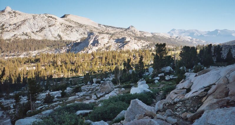
You can almost make out the buildings of Vogelsang HSC. Note the trail to Vogelsang Lake below. This was taken early morning.
This section of trail is almost sketchy in nature in places with only ducks and other trail signs as a guide, although the way is never in any real doubt. While Dave trotted ahead, I shifted into my lowest gear, in particular during a short section of very steep climbing. The trail actually rises above the lake before slanting downward towards the outlet. Already the trail was taking on the appearance of a lesser-used trail that does not get near the traffic of the Fletcher and Emeric Creek trails.

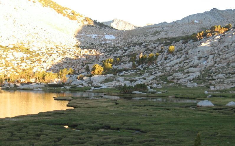
Looking accross the meadow next to Vogelsang Lake towards Vogelsang Pass and the peak beyond.