A Backpack to the Remote Lyell Fork of the Merced River

An early morning view of Gallison Lake with Simmons Peak in the background. Note the snow on the lake outlet.
Vogelsang Pass (South) 2007
A Trail and Cross-Country Route to the Lyell Fork, July 2007
Leaving the pass on a groove carved out of the living granite, the trail traversed to the northeast, dropping a bit before climbing yet again above cliffs to gain the slopes main drainage where there was soil enough for bushes and trees to accommodate the trails plunge into the canyon with numerous tight switchbacks: and so began a descent of nearly 3000 feet to the High Trail junction.

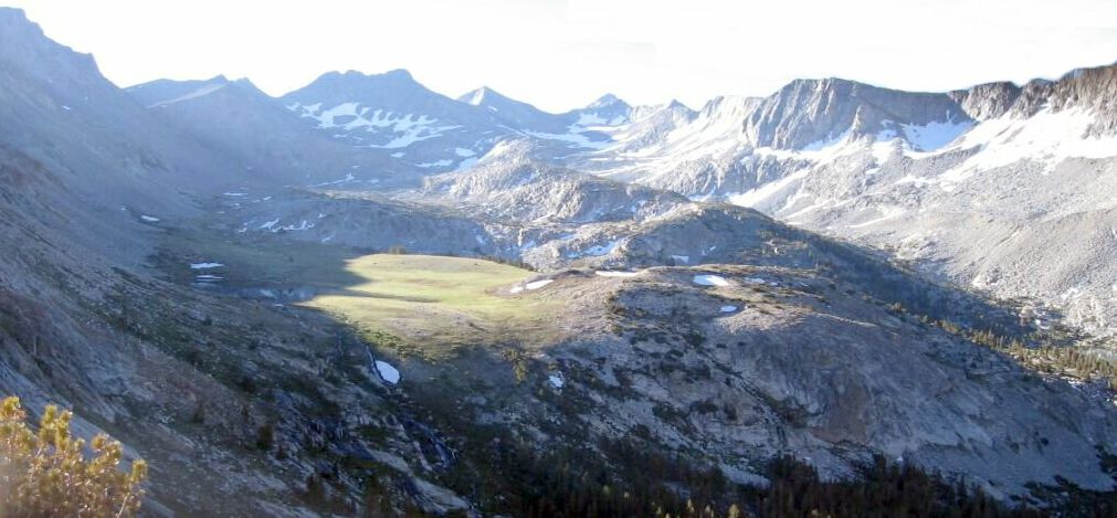
The Lewis Creek drainage. With Bernice Lake mirroring in the morning light on the left, this is looking towards the Florence Lake nevi. On the horizon on the right, Red Peak can be seen.
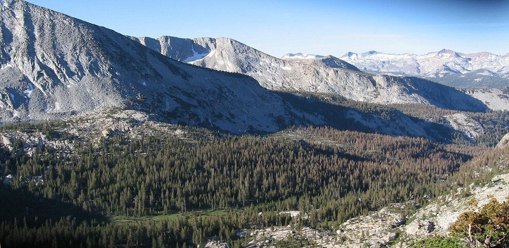
For a well rested backpacker, the trail descent is a joy of ever changing scenery, from the exposed rocky heights, to the wide open tree-line flower beds feed by seeps and small streams, to the beginnings of the first few stunted high altitude trees that soon stand erect to become the embracing forests of the high country. After many uncounted switchbacks that seem to be parachuting me into the forested valley below, the forest took over the far views that then allowed me to admire the now lush near-at-hand landscape of thick gardens of flowers and ferns laced with small rivulets. The lower I went, the more like a garden of Eden it appeared to be, with countless flowers along the trail with a large stream fed meadow a short distance off to my left. Nowhere else along this trail will you find such a lush garden spot because as the trail descends, the nature of the surroundings change. Even in August of a normal snowfall year this garden spot should be impressive in its fertility.