A Backpack to the Remote Lyell Fork of the Merced River

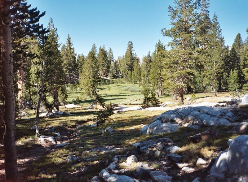
Just ahead is a trail crossing of Lewis Creek in that meadow. Off to the right are a number of excellent campsites. Note the trail.
Lewis Creek Canyon
A Trail and Cross-Country Route to the Lyell Fork, July 2007
Eventually, the trail ended its tendency to switchback (around 10100 feet) and straightened out somewhat as it meandered through the high gardens. It still tended to quickly shed altitude as it navigated broad steps before finally leveling out in the valley bottom. Here it met the young Lewis Creek (at 10013 feet) amid a lush green meadow, really the outlet stream of Gallison Lake. Off to the right in the trees are the first good campsites, several in fact, ranging from exposed (still with a lot of trees nearby) to tree sheltered, but always level. Due to the fact that these camps are high and deep in a canyon, being in one of the exposed spots really does not matter all that much. I stayed there for a night one trip and found it to be a pleasant and conveniently appointed camp, the best in the canyon.

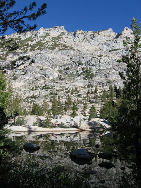
ne of the trailside ponds of the upper Lewis Creek canyon.O
It is here among the beautiful green meadows that the first true stream crossing is encountered, giving one the choice of a mighty leap across the waters or a pleasant wade. This is where wearing gaiters comes in handy, because this early season crossing became a leap and shallow wade for me that still resulted in dry feet.
There was a long ways to go, so I didn’t hang around to re-visit the campsites, so after the ford I hit the trail, which crossed its threaded way across the lush meadow and into the trees on the far side. I met two mountaineers right at the meadow, who were wondering if there was a trail from the pass to Vogelsang Peak. I knew of none but told them the cross-country was easy and they should find their way with no problem. They were the last people we would see for nearly three days.

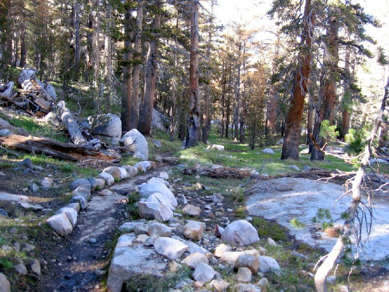
A sample of the ever changing trail in the upper Lewis Creek Canyon.
Thereafter the trail passed a good-sized pond, again lost some altitude quickly and then crossed over the outlet stream of Bernice Lake (easy). A short rather ordinary forest walk brought me to the Bernice Trail junction and a chance to digress with this account.