A Backpack to the Remote Lyell Fork of the Merced River

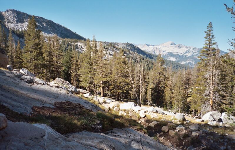
Florence Creek can be cascading off the canyon platform where Florence Lake sits. In the distance, Mt. Clark and the fins of rock next to Obelisk Lake.
The Lewis Creek Trail
A Trail and Cross-Country Route to the Lyell Fork, July 2007
Back on the Lewis Creek Trail
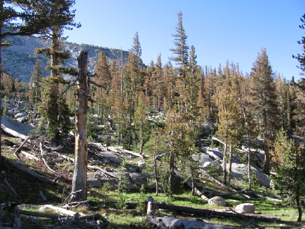
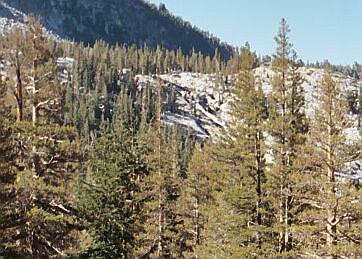
Beyond the Bernice Lake junction, the trail resumed losing altitude while following Lewis Creek. At first it was fairly forested, sort of cozy with open forest and plenty of grass and granite along the typical backcountry trail. A sparsely treed section along with trees all laying in the same direction could be seen as an obvious snow avalanche zone that none the less allowed views of the cliffs above both sides of the canyon. Somewhat alarming was the amount of newly dead trees in an area I remembered as one of the greenest stretches of forest in the High Sierra. More on that later.

The end cliffs of the north wall of the Florence Lake canyon and a section of avalanche shaped forest. This area is between Bernice Lake and Florence Creek.
Just below 9600 feet, the views opened up from a high slope to once again brace me with views down canyon. In the distance I could see the Clark Range and closer at hand on the left I could see the top of Florence Falls. If I stood quietly, I could hear the rushing waters of the falls. At the top of the falls, part of the plateau of Florence Lake could clearly be made out. I have plotted ways to get to that lake, and finally on this visit I think I have found a good way to get there if I ever return to this area again.

A look at the top of Florence Creek Falls in the distance.