A Backpack to the Remote Lyell Fork of the Merced River

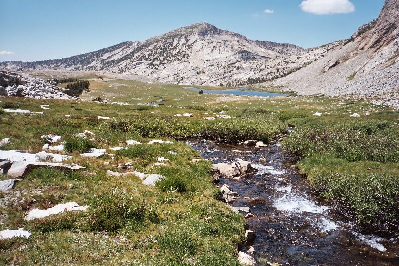
As I was hiking to the lakes further back into the canyon via the route near Lewis Creek, I looked back towards Gallison Lake. There is a handy open grassy area near Lewis Creek that allows easy access to the upper lakes. See the picture just below.
Lewis Creek Canyon
A Trail and Cross-Country Route to the Lyell Fork, July 2007
Lewis Creek above Gallison Lake ambles up a shallow depression, still keeping to its grass-covered ways most of the time. A short hike east then south got me to three fair sized lakes sporting grass and clumps of stunted trees that adds its waters to the Bernice Lake outlet stream. I unfortunately suffered some camera trouble, so I did not get any pictures of this area and the deeper parts of the canyon. It would be best to devote an entire day to just exploring this area and canyon.
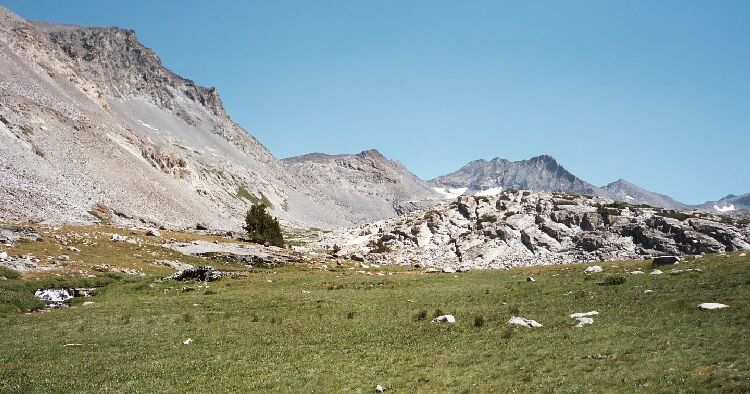
The opening near Gallison Lake that leads the the lakes further back in the canyon. That is Lewis Creek flowing on the left.
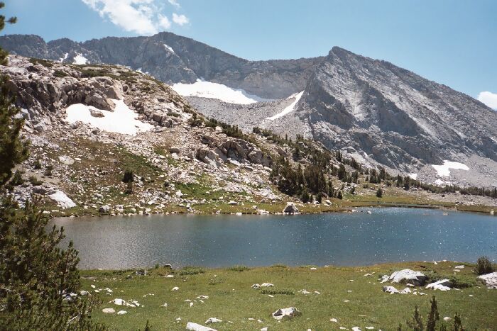
The lake at near 10,400 feet and its own lawn.
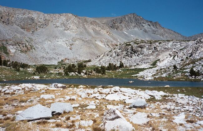
Lake 10,400 looking towards Parsons Peak and the opening to further explorations up-canyon.
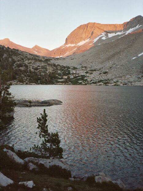
One last look at Bernice Lake in the evening after-glow