A Backpack to the Remote Lyell Fork of the Merced River

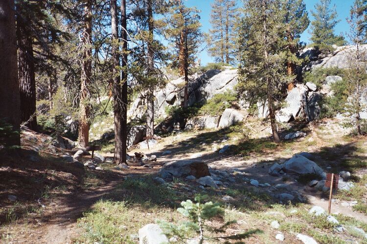
The junction of the Lewis Creek trail and the High Trail. I am standing on the High Trail looking down the Lewis Creek Trail. Note the Yosemite iron trail signs. A nice place to rest before hitting the High Trail.
The High Trail
A Trail and Cross-Country Route to the Lyell Fork, July 2007
Too soon, it was time to go. We had enjoyed the lack of mosquitoes there at the trail junction. We got our gear on and hit what the Park calls the High Trail.
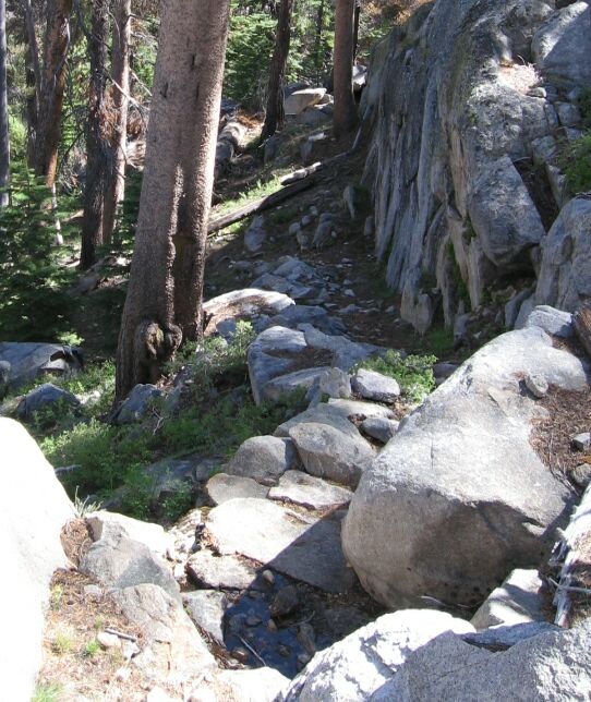
Right away, the nature of the trail changed. For one thing, a deadfall had to be almost immediately navigated around. This was an indicator for the rest of the trail, which, like the trails in the Isberg and Post Peak Pass area, seemed to be indifferently maintained. While we had no trouble following the trail; in places it was very sketchy and no more than a slight depression or a lane of slightly disturbed earth. This was a true remote backcountry trail and the inexperienced might lose the trail from time to time and struggle a bit. As long as you have a detailed map (like a 7.5 map) and know how to use it (and a compass), it should be easy enough to find a lost trail. I got off track at least once and had to reacquire the trail. In more than a few places I had to look around to find the true path to follow.

One of the more engineered sections of switchbacks, and there were lots of switchbacks.
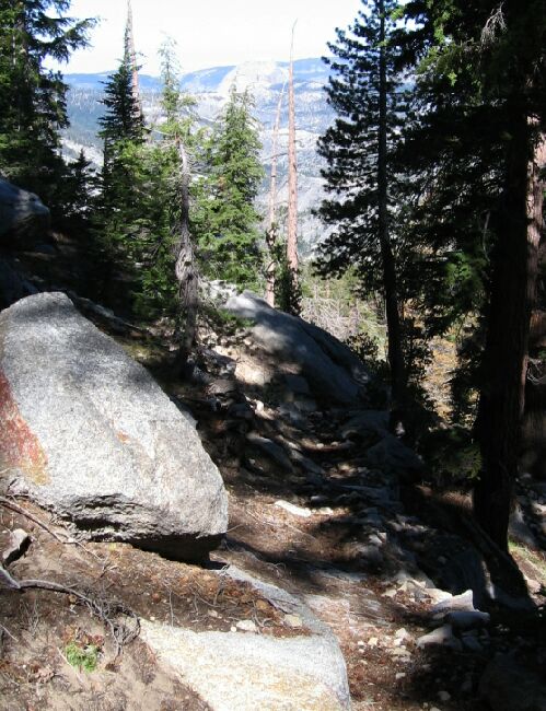
From the junction the trail immediately began a hard climb of 800 feet. Boy, I’ll tell you: if you reach this junction even after a fair amount of exercise, this will be a real grunt of a climb! After the deadfall, the trail hooked around next to a granite wall to mount altitude-eating stairs. In a few places the trail would snuggle up next to a wall with a set of stairs. Mostly the trail gained altitude on profoundly engineered switchbacks that demonstrated the true meaning of "switchbacks". Along the way, if you can tear your eyes away from the trail you are slogging up, you can see Merced Lake way below, and beyond, the backside of Half-Dome.

This is looking DOWN the trail, downward, so this is steep! In the distance you can see the white lump of Half Dome.