A Backpack to the Remote Lyell Fork of the Merced River

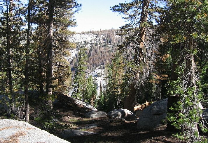
Near where the trail finally stops climbing so fiercely, I could see across Lewis Creek canyon to groves of dead trees.
A Steep Climb on the High Trail
A Trail and Cross-Country Route to the Lyell Fork, July 2007
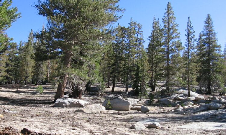
After about 450 feet of gain, the trail gave us a bit of a rest by taking a right down a flat wooded bench on a long traverse before once again mounting up a set of steep switchbacks. Once beyond the switchbacks, the trail aggravatingly only gradually leveled out before reaching a dry plateau studded with a sparse set of trees after about another 400 feet of climbing from the wooded bench.

Finally some level trail on the strange sandy flats of the High Trail.

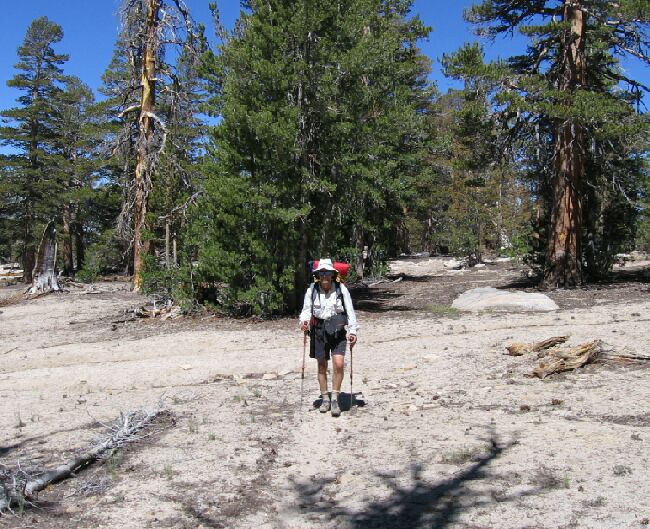
On the sandy flats you can really see just how pronounced the trail is, which is to say, "not very". Still, it is mostly not hard to follow.