A Backpack to the Remote Lyell Fork of the Merced River

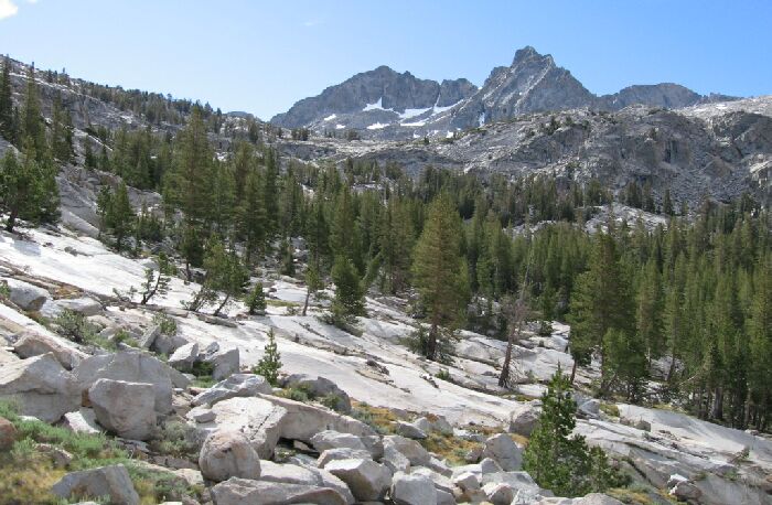
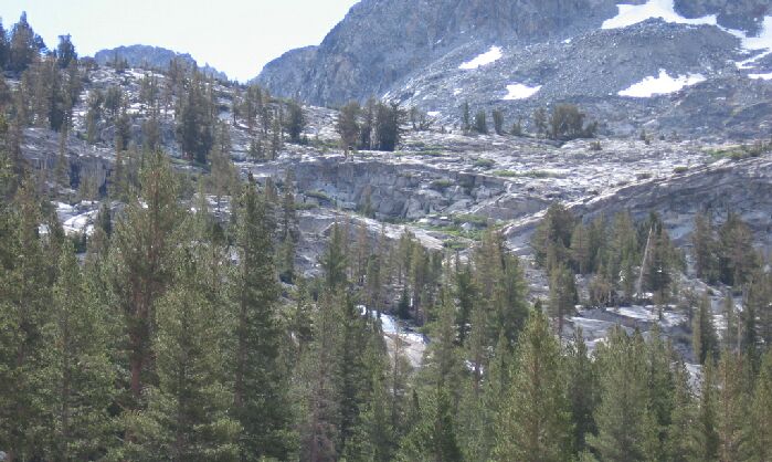
Looking up at the headwall towards the Lyell Fork cascade and Mt. Lyell.
The Headwall
A Trail and Cross-Country Route to the Lyell Fork, July 2007
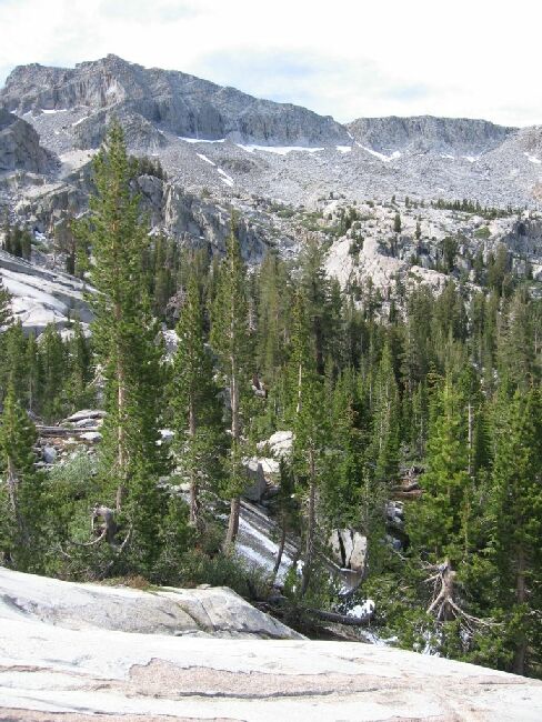
After a while were near the main canyon headwall and Dave called for a break with a view. We headed for a small hill up a gully and settled on the rocky summit that overlooked the whole near vicinity. Time for a snack and I for one was starving.

The last cascade beforethe Lyell Fork begins to wind its way through the forest.
Looking at the headwall, I could see it was going to be a problem, and not as easy as it seemed on the map. Near the main cascade of the Lyell Fork and in particular above, the ground was very complex. Above the cascade there seemed to be a continuous wall, maybe 40 feet high that guarded the heights. I am sure there must be a way through the jumble of granite and the high wall, there always is, but it was not apparent from where I sat.

Looking towards the Lyell Fork Cascade. The views will get better...
Other ideas present themselves, like some side canyon gullies that looked like they lead to a traverse. Also, on the other side of the stream it looked like it might be easier to get up into the canyon.