A Backpack to the Remote Lyell Fork of the Merced River
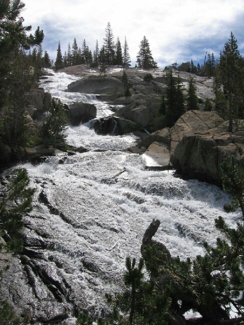
The main lower section of the Lyell Fork cascade. Remember, this is looking up .
Lyell Fork Cascade
A Trail and Cross-Country Route to the Lyell Fork, July 2007
Above me, the long white-water Lyell Fork headwall cascade was now visible, and I worked my way upward towards it through more complex terrain of trees, slabs and mounds of granite, mostly easy to navigate. I worked my way close to the cascade: the last 10 feet was a clutter of logs, low bushes and jumbled rocks. I got as close as I could before it got too hard to navigate safely, and anyway I seemed suspended above the flow, thought the view below was blocked. Still, I had a good view up the long complex cascade and I was able to take pictures.
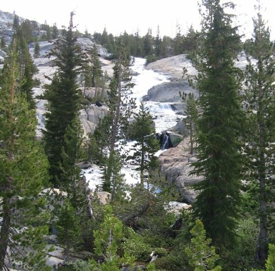
Sometimes there was lots of stuff in the way, blocking the way to the cascade.
I went back to more solid rock and around and upward of that jumbled section and found other places to get to the water if I wanted to, but going there would block my view up-stream, so there was no point.
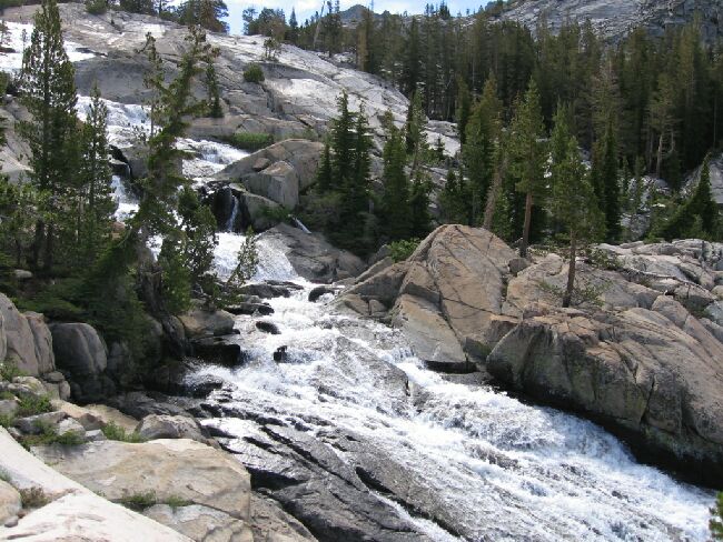
It almost looks like you could cross here.


