A Backpack to the Remote Lyell Fork of the Merced River
Kind if hard to tell which side of the Lyell Fork I am on. It turned to the right below my feet.
Examining the Headwall
A Trail and Cross-Country Route to the Lyell Fork, July 2007
Looking up hill I could see that wall up there. From where I was to that blocking wall above looked complex but not impossible: just a lot of walking up some steep slabs and detours around the more difficult stuff. Looking across the stream it looked much easier. One would just have to find a good place to cross the Lyell Fork down on the flats, and make their way up through trees and slab granite routes. Once in the basin, one would also have to find a way back across the stream if they wanted to explore the basin. It all looked like an interesting problem.
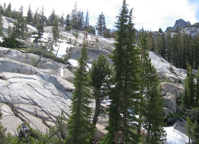
Steep rock, but not impossible...at least not here, but higher up is a wall...
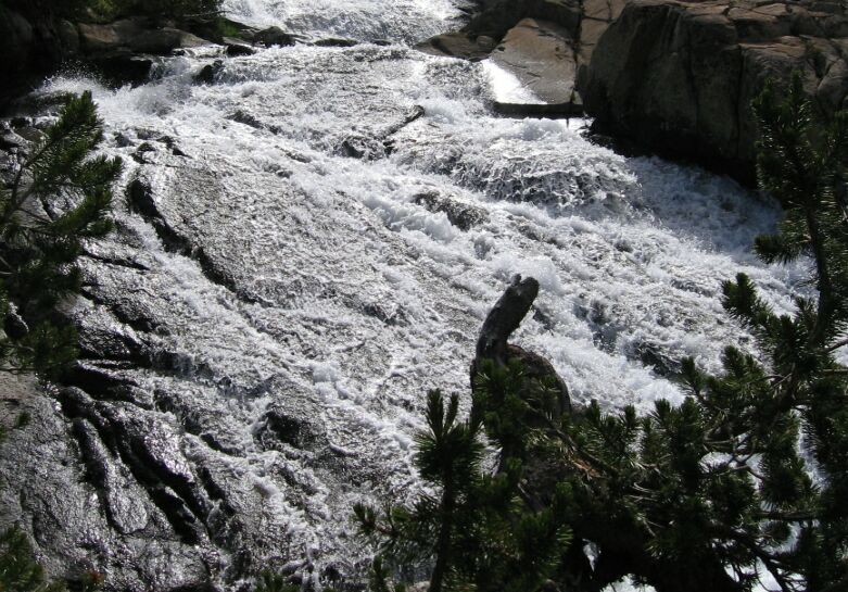
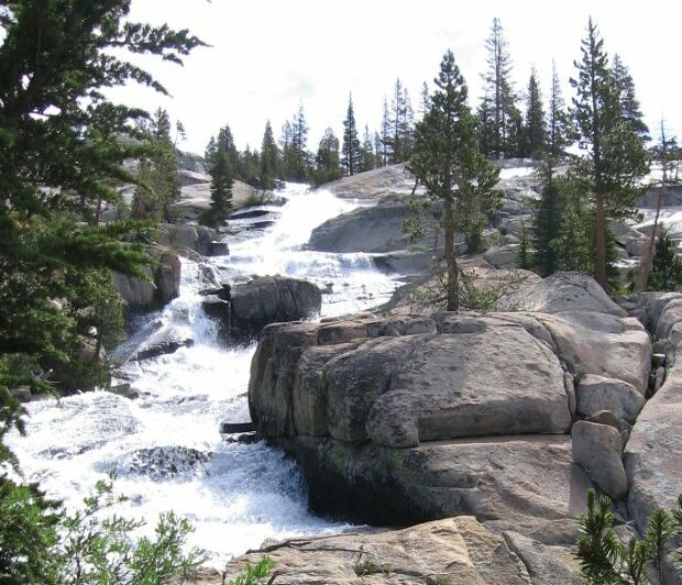
The cascade in morning light.
Well, I finally had to turn back, which was too bad. I would have liked to head higher if I could. I threaded my way back along the convoluted route, finding an easier way in the process. When I finally broke into the open, I saw Dave walking about in the distance. He spotted me and threw up his arms as if to say, "What took ya?"


