A Backpack to the Remote Lyell Fork of the Merced River

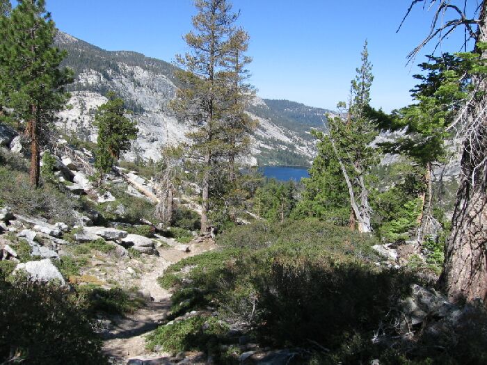
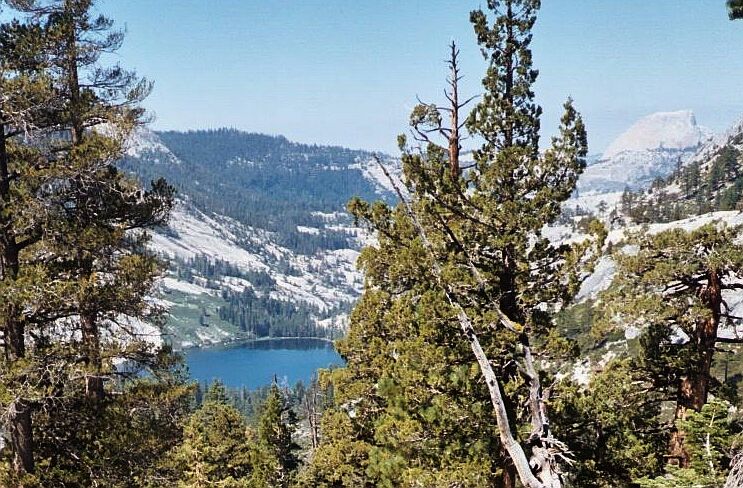
Several years apart, I took the same exact picture. Merced Lake is below, but there are plenty of switchbacks on the way.
Back on the Lewis Creek Trail
A Trail and Cross-Country Route to the Lyell Fork, July 2007
We stopped for water at the last High Trail stream before the steep plunge to Lewis Creek. Dave said he had enough water and went on ahead. I caught up to him at the junction and went on ahead while he dealt with some pack and feet issues. My pace was somewhat limited by my toe (I had to walk a certain way to keep from impacting the toe), but I was still making good time and having a good time.

Mercel lake below, and Half Dome on the right.
Some typical trail in the more exposed areas with swichbacks. See Merced Lake and Half Dome here.
Dave makes his way down the switchbacks.
Well, I was back on trail (1.5 miles between junctions) that was downright used looking, in particular the rocky-engineered switchbacks. I was surprised to see some deadfalls over the trails. Nothing too bad and easy to get around but surprising it was not taken care of by now. By turns, the trail was open with nice views or in cozy forest cover with plenty of greenery all around along with the first flowers of spring. Once again the trail seemed at times to be on some platform of a master joint, while other times the trail just plunged downward on groups of switchbacks.