A Backpack to the Remote Lyell Fork of the Merced River

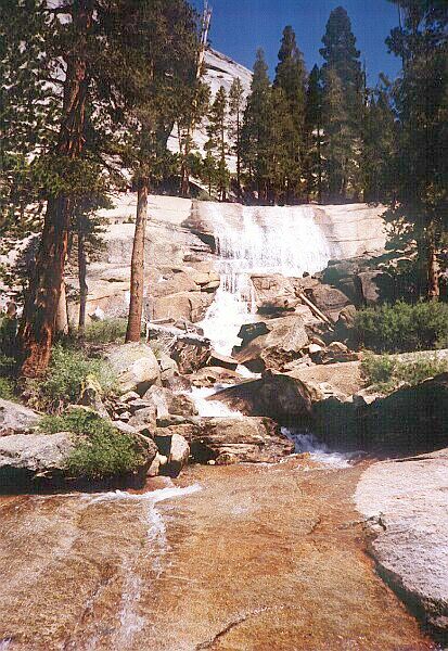
The Fletcher Creek Falls near the bottom of the Fletcher Creek Trail switchbacks with healthy looking trees, 16 years ago....
Heading for the Switchbacks
A Trail and Cross-Country Route to the Lyell Fork, July 2007
We had a nice break and feed (it was only late morning), and leisurely headed back to the trail. I had done this section twice before (once in each direction and it is about 1200 feet of climbing), so I knew what to expect. The next lower section was an easy undulating walk to reach Fletcher Creek, sometimes in shade but mostly sunny and exposed.

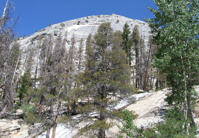
Near the same spot as the above picture, but the trees...not so healthy...
Once we reached the creek, the uphill section began. This section starts out with a bang, with a nice broad true waterfall, best seen early season. If you have the time, drop your pack and hike around for the best vantage point to view and photograph the falls. It can be a nice curtain of water spilling over a sharp ledge, with a series of smaller falls below the main falls. It was not as nice as in the past because over half of the trees were dead. (See the pictures.)

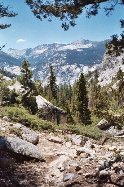
The Clark Range from the trail a few years ago.