A Backpack to the Remote Lyell Fork of the Merced River

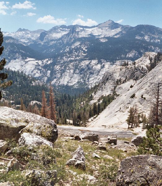
A long granite slide to Fletcher Creek and the "Bridge Canyon". Beyond, the Clark Range.
Clark Range While Climbing
A Trail and Cross-Country Route to the Lyell Fork, July 2007
After the falls, the trail really begins to climb with a vengeance on well-graded tight groups of well-engineered switchbacks. Even this second time climbing this section, it was not bad hiking. Usually by the time you reach this point, you probably have already spent a few days on the trail. Your pack is lighter, you are more acclimated and you are in better shape for all the work. I was swinging along in the lead, but now and then I stopped for a picture, which is when Dave passed me. He has an uphill gear nobody else has and I was not in a hurry. I told him to wait for me at the panorama point, and that he would know what I meant when he got there. You can’t miss it.

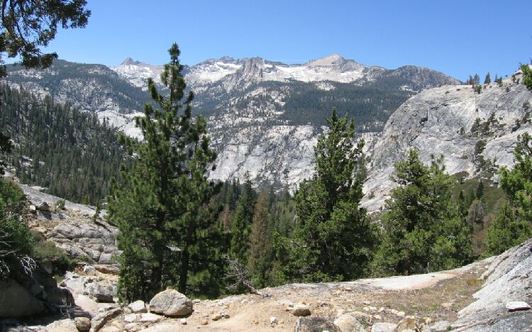
Take a breather on the blasted trail (left lower corner) and enjoy Mt. Clark and the spires to its left, all above the Merced River canyon.
And you should stop for a breather now it then just for the developing views! Behind me the Clark Range began to rear up featuring Mt. Clark and all the rocky spires and peaks around it.