A Backpack to the Remote Lyell Fork of the Merced River

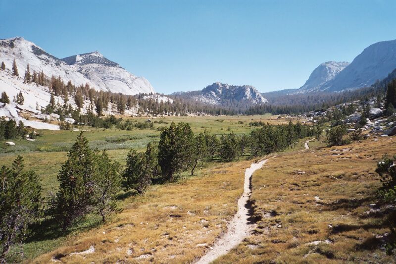
Later in the season in 2005, the meadow starts to turn brown. In the right distance, Fletcher Peak. Point 10081 is the rock in the middle horizon. The classic white granite of the Yosemite pluton. To the left, Fletcher Creek.
"Big Fletcher Creek Meadow"
A Trail and Cross-Country Route to the Lyell Fork, July 2007
We kept to the trail, which eventually topped out right next to creek where we stopped to take pictures and look at the impressive views down into the valley and the cascade at our feet. Unfortunately, mosquitoes were beginning to make their reappearance after their general absence these last few days, and would only get worse as we went higher. Much worse.

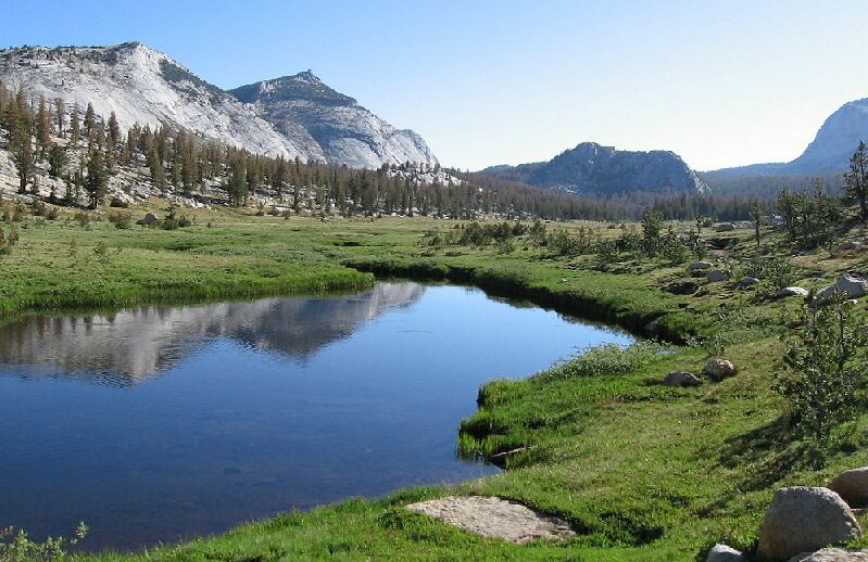
A pool of Fletcher Creek reflecting un-named domes. It is early season 2007, and all is green.

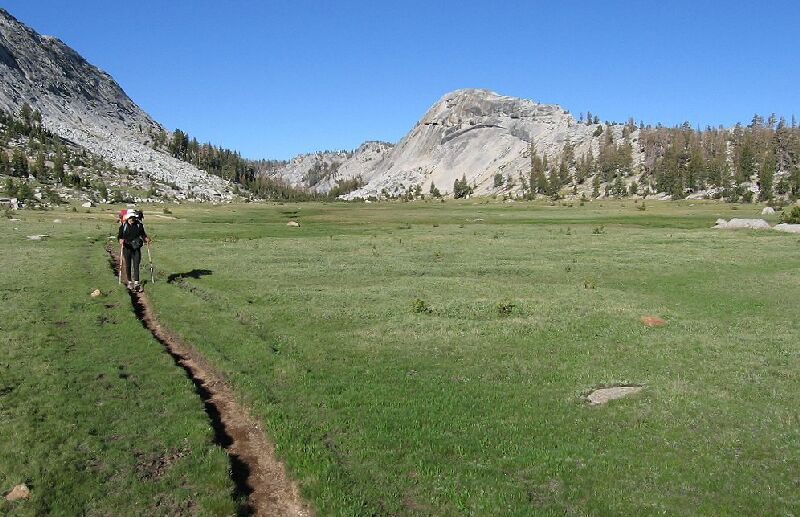
Dave hikes a horse rut in the "Big Fletcher Creek Meadow". On the right is what I call "Emeric Dome" (2007).
Turning about and looking northeast we were confronted with a complete change of scenery. The sky just seemed to open up over a huge green meadow in the bottom of a vast bowl fringed with mostly un-named peaks. The named peaks that are in view are Fletcher and Vogelsang Peaks, both on one small arc of the total view. The rut of the trail snaked to the right through the deep loamy grass of the huge meadow. A little ways up the trail there are large reflective pools in Fletcher Creek (with fish) to add to the big sky effect. Back to our left was what I call "Emeric Dome", which forms part of the ridge that divides the meadow we were traveling from the small valley where Emeric Lake is. We marched on down the trail, urged on by the nuisance mosquitoes dogging our steps.