A Backpack to the Remote Lyell Fork of the Merced River

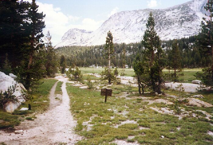
The junction of four trails, looking towards Vogelsang. We go to Emeric Lake first (1991).
Emeric Lake
A Trail and Cross-Country Route to the Lyell Fork, July 2007
After a very pleasant walk up the long green valley we came to a stream crossing of Fletcher Creek (easy) where we picked up some water. We did not waste time because of mosquitoes, and I took the stop as an opportunity to use some deet. Not far beyond the crossing we came to a four-way trail junction where I will take this opportunity to explain two alternatives.
~~~Emeric Lake Detour~~~As suggested earlier, you can cross Fletcher Creek below the cascades in "Babcock Valley" and follow Fletcher/Emeric Creek up to Emeric Lake, or (if you are coming from the Booth Lake direction), at the four-way trail junction you can go to Emeric Lake, which I will describe here.

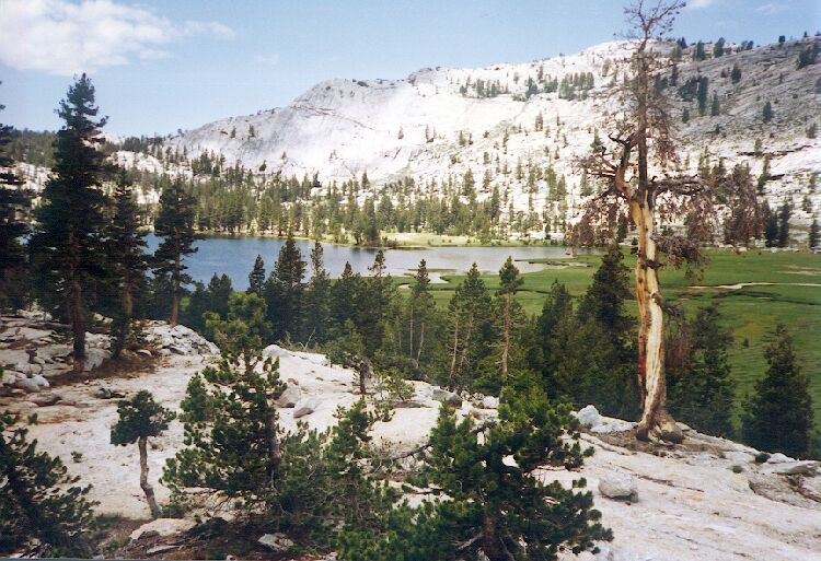
Looking west from the east end of Emeric Lake(1991).

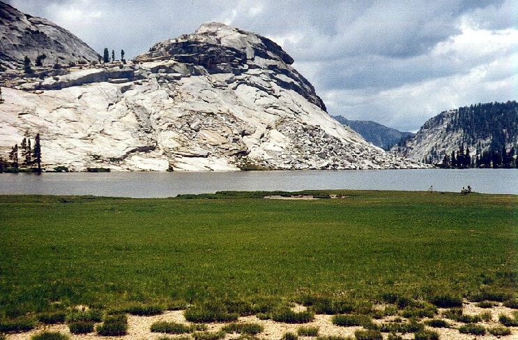
"Emeric Dome" from the north shore of Emeric Lake (1991).

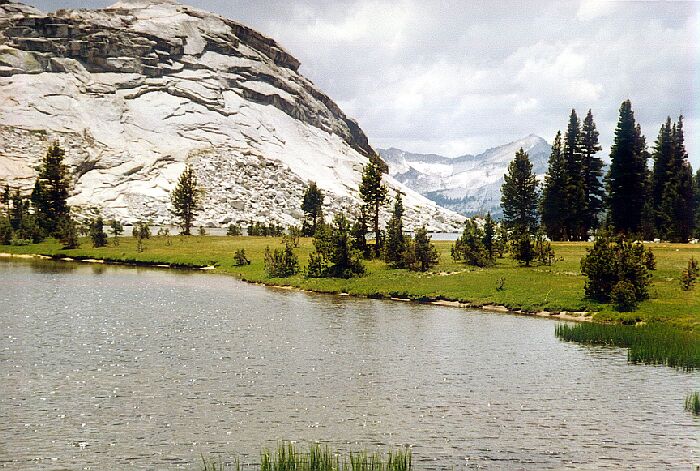
Near the outlet of Emeric Lake with Mt. Clark in the background (1991).
Climbing over a low broad ridge, the trail takes you to Emeric Lake in .04 miles. To find camping, turn the lake on the right and travel around a broad bay to a scant tree covered area. There are wide flat grassy and sandy areas around the lake, as well as low elevated sections or rocky areas. The only impression I had of the area from so long ago was that there was adequate camping, and maybe great camping if we had taken the time to look more closely at the area. What I do know for sure was that getting around the north shore was easy, as was finding the lake outlet. From there it was easy walking down next to Emeric Creek, and later Fletcher Creek to "Babcock Valley".