A Backpack to the Remote Lyell Fork of the Merced River

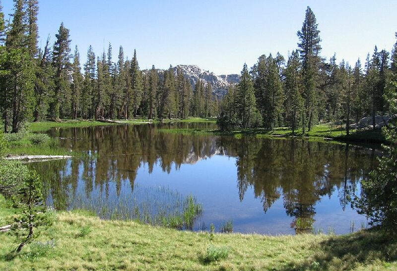
The first reflection tarn on the left of the trail.
The Tarns
A Trail and Cross-Country Route to the Lyell Fork, July 2007
The next section makes this trail worthwhile, because it approaches a group of beautiful lakes/ponds/tarns surrounded by green lawns that go right down to the waters edge, and everything looked groomed by a master gardener. The first large pool or tarn was on my left, and was probably prone to drying up a bit by late season in dry years. But for me at early season, it was nearly full, perhaps a foot low because it was indeed a dry year. It was a perfect mirror reflecting the ridgeline of Rafferty Peak. It is not surprising that this was such a beautiful area because it is just above 9800 feet like the beautiful upper canyon of Lewis Creek below Vogelsang pass. The zone between 9800 and 10,000 feet in the Sierra often seems like the magic zone where everything seems so perfect and ordered. Walk around Tioga pass to see what I mean.

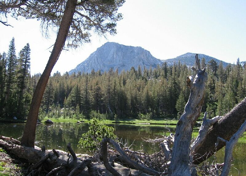
Fletcher Peak over one of the tarns (the right-hand one).

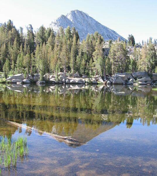
Vogelsang Peak reflected in the waters of the tarn.
The trail passes between two small lakes/tarns, and the one on the right comes immediately into view just beyond the lake to the right of the trail. This shallow second lake is no less a mirror than the other lake, and perfectly reflected Fletcher Peak and Vogelsang Peak (or at least its northern ridge). Beyond this lake are two more lakes, and if I had thought about it, I would have gone over to take pictures. The charming rocky further shore seemed to be next to the deep end of the lake, and probably hid an ideal campsite.