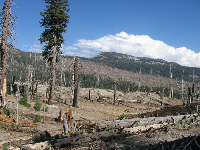
The burn area that the John Muir Trail crosses out of Reds Meadow. Beyond, the peaks over Mammoth Lakes.
A Backpack Cross-Country Traverse of the Minarets
The burn area that the John Muir Trail crosses out of Reds Meadow. Beyond, the peaks over Mammoth Lakes.
King Creek
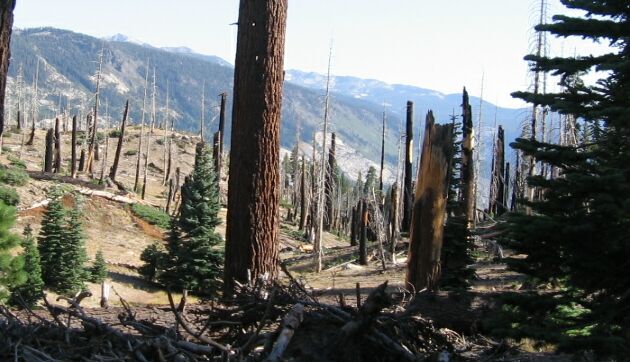
A Cross-Country Traverse of the Minarets, August 2006Once out of the San Joaquin River trench, the walking was rather pleasant and mostly downhill on very well defined and established dusty trail (we kicked up clouds of dust). The trail entered an old burn area which actually allowed some nice views down the Jan Joaquin River trench. The old burn on the John Muir Trail was very plain to see as well as the heights above THE Mammoth Lakes.
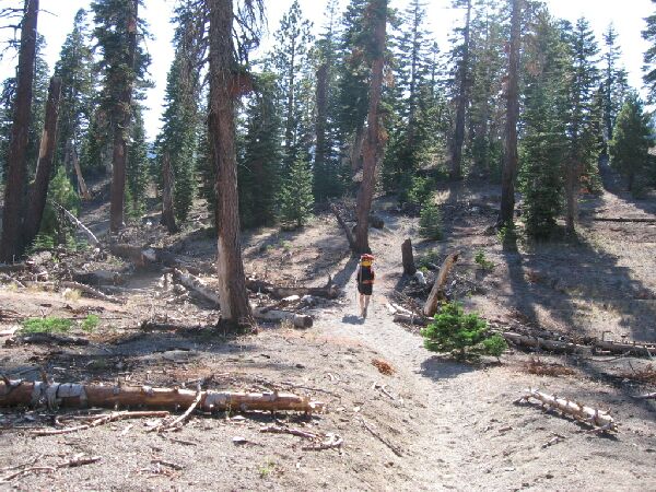
The typical dusty sandy trail.
The gentle descending meandering trail eventually reached King Creek (7611 Feet), which we hardly noticed or slowed down for. We had already passed a number small stream beds, and King Creek just seemed like a slightly wider wetter stream. Even after the wet and wooly past winter, the smallish drainage area dictated a limited amount of runoff. Early season would be a different matter, and crossing could be much more of a chore. However, if we had needed water, that would have been the spot to stop for it.
Looking through the trailside burn area down the San Joaquin River trench. Note the glacier scoured slabs of the river trench, as well as the far peaks of the Silver Divide.