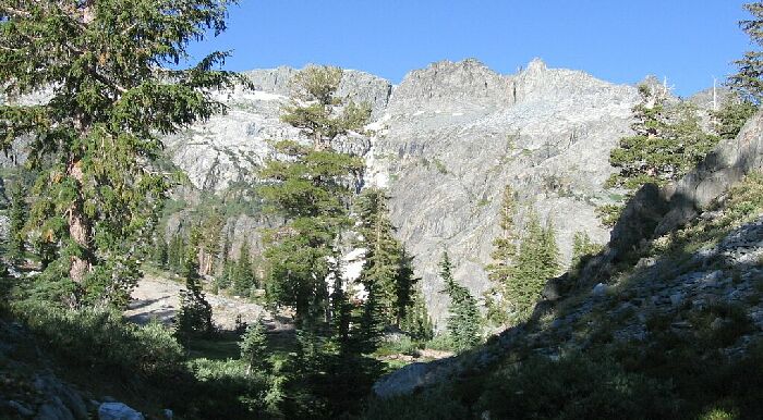
The is looking north-west towards Anona Lake from the west shore of Fern Lake. Even if there had been no trail, cross country would be easy.
A Backpack Cross-Country Traverse of the Minarets
The is looking north-west towards Anona Lake from the west shore of Fern Lake. Even if there had been no trail, cross country would be easy.
The trail meandered and switchbacked in an interesting way up the glacier flattened Fern Lake drainage valley and hit a more wooded area sheltering a dry pond and mud-flat that shows up on the map as a small trailside tarn. After a hard left to the west and a short climb, the trail takes a right to plung down into the valley of Anona Lake on switchbacks. The views everywhere were beginning to open up, and the valley ahead was pretty darn impressive. Now this is what we came for!The Minarets X-C Traverse: The Start
A Cross-Country Traverse of the Minarets, September 2006I think this cross-country traverse really begins at Fern Lake, though you may want to count the hike up from the Devils Postpile. As a matter of fact, with an early start, you could probably get beyond Fern Lake on the first day of hiking. This worked out great for us: a long road trip, permit, a few miles on the trail, dinner and bed for a full days effort.
Another reason I think the traverse begins here is because on some maps (like the Harrison maps), there is no trail to Anona Lake, when in fact there most definatly is. This is something I discovered the night before and we continued to discover as continued up the trail from Fern Lake. My 7.5 map showes a trail to Anona Lake, which I was prepared to follow when in doubt. This trail segment leaves Fern Lake as a well defined path that is more like a real backcountry trail that does not get the same use as some of the other high use trails (like the one up to Fern Lake).
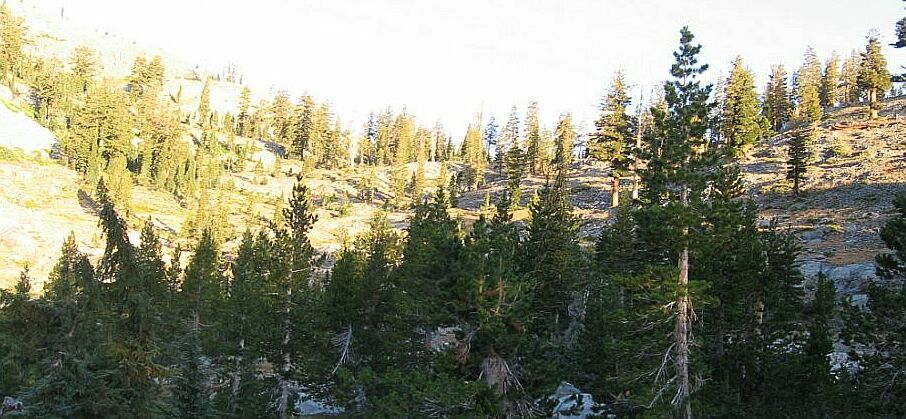
After the pond and a short climb, the trail crests and begins to descend into the Anona Lake drainage.