A Backpack Cross-Country Traverse of the Minarets
The approach to the outlet of Anona Lake. Note the faint trail. From here it will be cross-country.
Anona Lake Valley
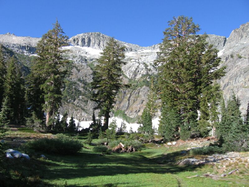
A Cross-Country Traverse of the Minarets, August/September 2006After dropping down into the Anona Lake drainage, the trail differs from what is on the 7.5 maps. The trail actually heads for the lake outlet along the south side of the outlet stream. The old trail on the map heads for a packer camp: the trail is gone on the other side, but I think the camp is still there (which I saw from a short distance). When the trail reaches the valley floor, the trail grows faint (as you can see in the picture), but the way is more than obvious.
Now this was the scenery we came for! After we hit the valley floor, it was like stepping into a garden. There was a large grass lawn, a sparse scattering of handsome mixed conifers of various sizes and the towering cliffs of the bowl the lake sat in. This was a classic timberline circue of the most picturesque kind. It was obvious that this place did not get a lot of visitors, or at least not nearly as many as the lesser Fern Lake.
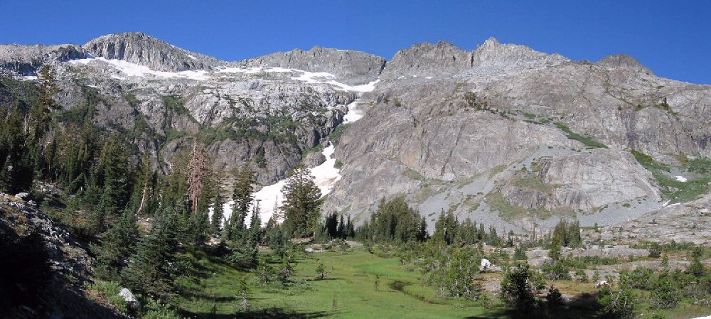
You can just see the trail right center as it heads between small trees. Just ahead next to the big trees is the lake shore. Camping is on the left and there are other possible areas to camp at this fine lake.