A Backpack Cross-Country Traverse of the Minarets
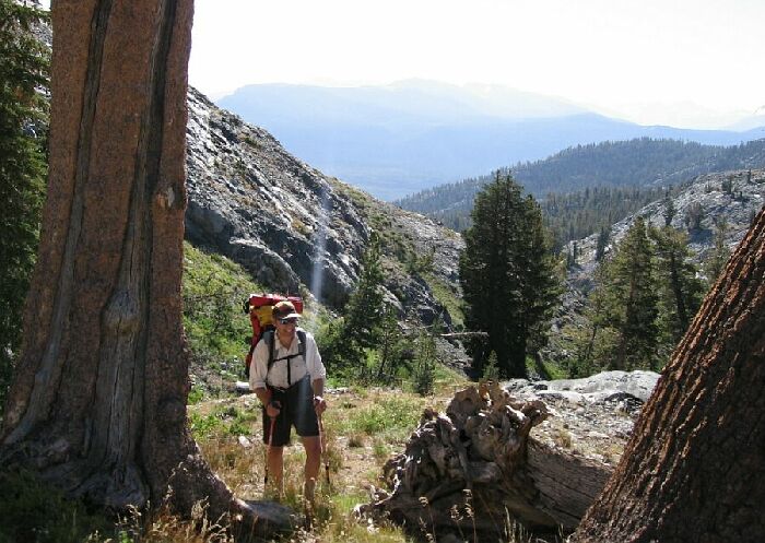
This shows the general route to "Gertrude Lake Pass" (the low point on the horizon) from the Anona Lake outlet. It is a traverse over easy terrain as can be seen here. In the clump of trees left of center is a little passageway through the trees and a low cliff -band.
Gertrude Lakes Pass
A Cross-Country Traverse of the Minarets, August/September 2006After crossing the outlet we proceeded across to an obvious ramp heading in the general direction of the pass. I traversed to stay high while gaining altitude slowly, staying on the easy ground and avoiding the steep terrain on my left (see above). It was very easy going and pleasant with nice far views to the right. The only really obstacle (and not much of one at that) was a depression and long low cliff/slope-band coming down the hillside across our route. I headed high towards a group of trees next to the steep part of the slope and found an easy channel through the band amidst the trees. There were probably other ways to get through the band, but this was probably the easiest.
Pretty soon we neared the throat-gully of the pass. The trick here was to not go into the gully, but instead, as soon as we were clear of the trees, to head directly uphill, angling slightly towards the low-point of this little pass. It again was easy going up this grassy uncomplicated slope to the pass.Oh no! Easy grass slopes! ....Yup, it's easy going. Coming up to the low point of "Gertrude Lake Pass" with the San Joaquin River drainage in the distance.