A Backpack Cross-Country Traverse of the Minarets
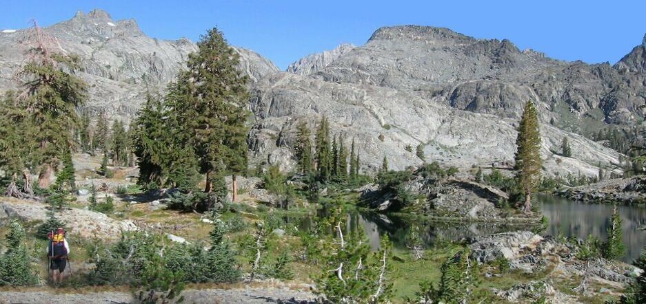
Looking to the NW from the South end of Gertrude Lakes. That is not an island in the small lake, but a finger of land extending into the lake. Now we are beginning to see some of the major highpoints of the Minarets.
Gertrude Lakes
A Cross-Country Traverse of the Minarets, August/September 2006My camera has developed the nasty habit if not opening its lens protector all the way sometimes, which means I must make sure the protector is open all the way every time I turn on the camera (digital). This messes up some shots so, like the ones on this page, I have to heavily digitally alter the images (more work). Anyway, I managed to get some salvageable good shots.
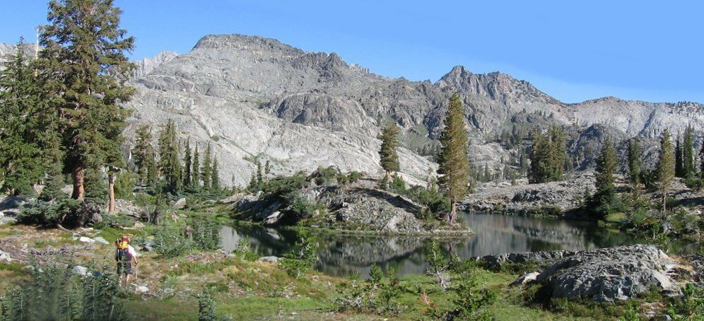
We followed a nice grassy ramp down to the "Y" shaped nearby Gertrude Lake. The cross country continued to be a Class 1 breeze around the lakes. We walked over the "Y" lake for a few minutes to check it out. Well, it seemed every time we came to a new point of interest, it was even better than the last. This area was, again, a garden spot, and camping was certainly possible with all the grassy level spots, but why bother when there is Ashley Lake nearby (and soon you will see what I mean). This would be a great spot to visit and have lunch if you were camped at one of the larger lakes. With all the surrounding peaks, reflective waters, picturesque trees and easy walking, you certainly could spend hours here just taking in the expansive scenery while strolling around. I was glad to have a chance to see it all.I thought it was worth using a similar picture to show off the peaks to the North. On the right horizon is Red Top Mountain. I thought Nancy pass should be in sight, but I was wrong.


