A Backpack Cross-Country Traverse of the Minarets
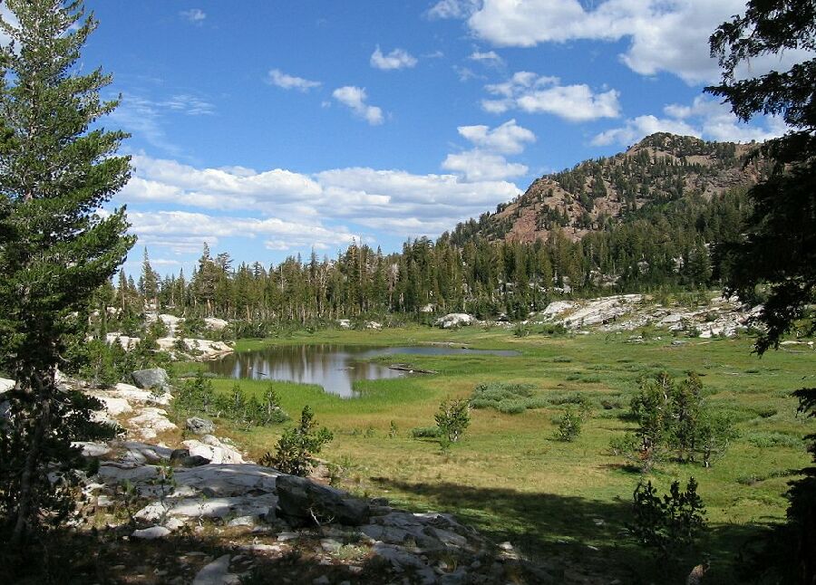
I have dubbed this Minaret Creek Basin as a point of reference. I took this picture near our camp. On the right you can see some evidence of the stream that fills the lake. There is even more dry meadow beyond the trees ahead.
Minaret Creek Basin
A Cross-Country Traverse of the Minarets, August/September 2006We had an extra day to work with and there was no hurry to get beyond where we were. This was a very secluded location and we saw little sign of anyone else except a few faint footprints. We decided to make camp somewhere, rest up a bit and explore this pocket basin.
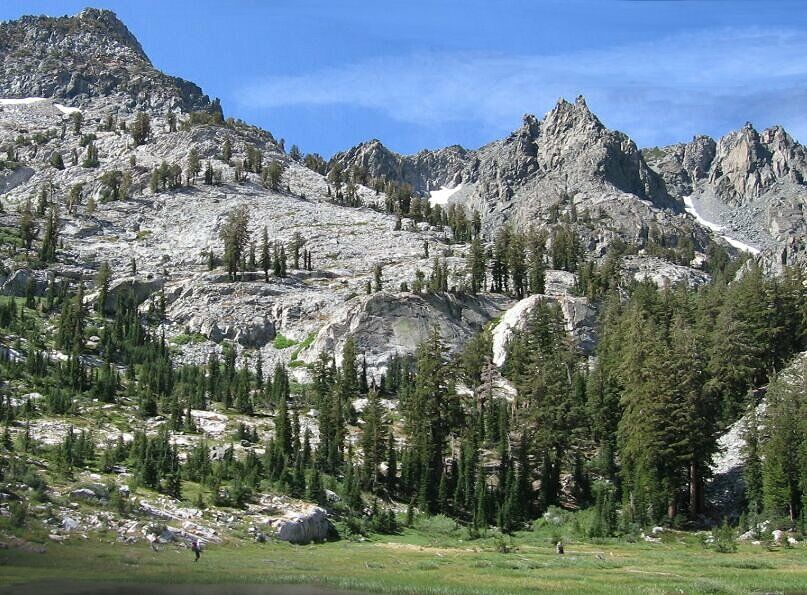
We headed to the west end of the largest lake, more of a large pond really, with Dave taking the south shore and me taking the rib of rock near the lake. The lake was probably a larger shallow lake once, but now it was becoming a meadow with a stream running through it. At the west end of the lake active streams ran to the lake, one coming out of the trees. We heard a waterfall nearby.Dave goes around the lake on the South side, while I try out the granite dike on the North side. This is looking south-west. Dave gives you the scale of this scene.


