A Backpack Cross-Country Traverse of the Minarets
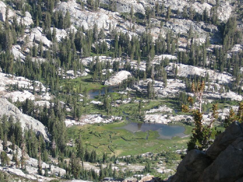
A birds eye view of where we were headed. Lots of small lakes and meadow down there. Lots of mosquitoes too at the wrong time of year. We camped to the left of those lakes in the trees.
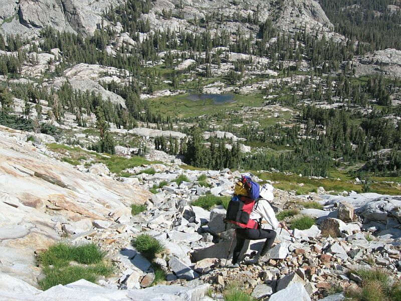
The Route Down
A Cross-Country Traverse of the Minarets, August/September 2006We are going to use a few extra pictures here to explain the route down to the meadow from Nancy Pass. We took the easy slope down from the pass a ways and it was obvious that the way down to the meadow would be easier than the Roper route. Below us we could see some scree and rubble, but also grassy areas and solid rock ramps and slopes that would be easy to walk down, so we decided to go for it. Here is how it was done.
The first part from the top of the pass is easy, almost a path and fairly easy walking between red volcanic rock and white granite. Beyond the first narrow area, we came on broken ground that was still easy to travel through. After a short distance we came to more granite dominated terrain that was a mixture of broken material, soil, grass and slabs of rock (easier to walk down). After a bit we could see below us a long level grassy swath or ramp which we made our way down to (you can see it in the pictures). We turned right and followed the grassy ramp in a traverse east, occasionally picking our way through some broken rock. Eventually the grass ramp ended in a small stable talus slope next to a rock wall (see the picture below). I crossed through this short easy section of talus and turned left next to the rock wall and descended some natural rock stairs down to a large grass covered area below. Dave took a shortcut on the other side of the talus without problem.Dave makes his way to the grassy ramp just below that you can see above his head going from left to right. I remember that I walked to the left and walked down that slab, then turned right to follow the grass ramp.
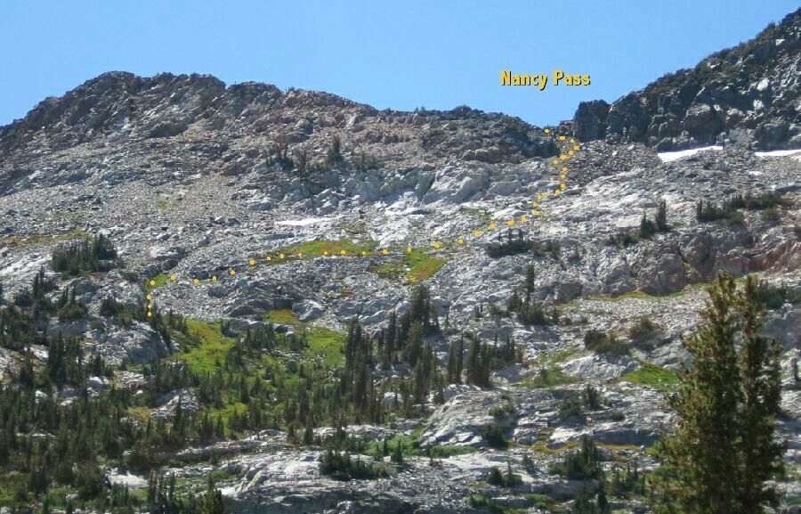
This was a good route down to the meadow from Nancy Pass. The "hook" at the left end of the route you can see in detail in the picture below.
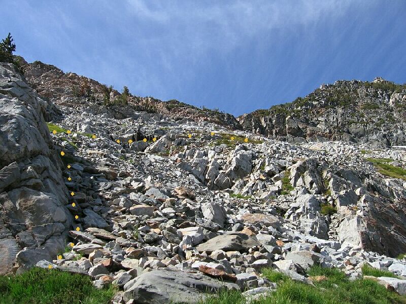
Once we reached the grass area pictured above, the rest of the way was easy, with a number of ways to descend to the meadow below. We choose to veer to our right and made our way through grass ramps and groups of trees. Eventually our meandering course deposited us east of the lakes and the meadow on well groomed looking grass. That was not too bad, but it was tiring. Time for a break.This is the last "hard" part of the route, but more like a stairs than anything. It was not hard at all. Just watch your step. After this it was all grassy ramps and slopes.


