A Backpack Cross-Country Traverse of the Minarets
Looking east near the granite dike where the stream contributes to a small lake.
Lakes and Meadows
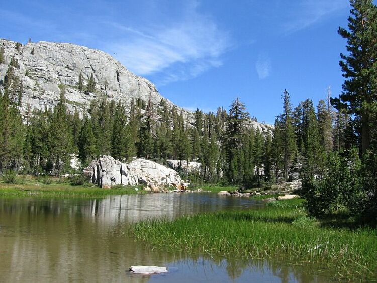
A Cross-Country Traverse of the Minarets, August/September 2006I headed east down the granite dike and exited to the north into a meadow near the outlet waterfall of the large lake. There is a somewhat complex network of streams in this area, some which do not show up on the map. What it amounts to is a group of connected pools that eventually contribute to the drainage of Minaret Creek.
The north side outlet stream of the large lake. The Nancy Pass route is seen above.
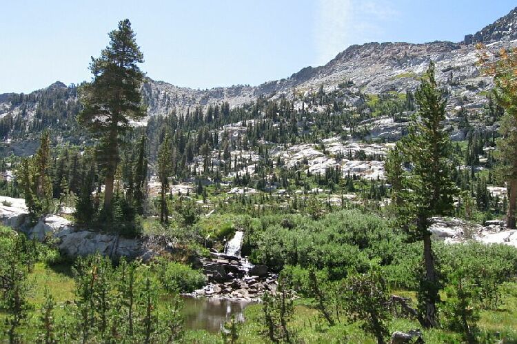
It was easy traveling around the basin, with no trouble going in and around all the little pools and ponds while tracing the drainage east. I circled all of the little lakes and ponds, including all of the ones not on the map. I could have climbed one of the granite domes to the north-east, probably a Roche Montane, but I had enough for one day. The little dome near camp would have to suffice.Amidst all that metamorphic rock is contrasting granite that gives the illusion of snow. This is looking west towards camp over one of the northern lake-ponds. That peak may be "The Watchtower".
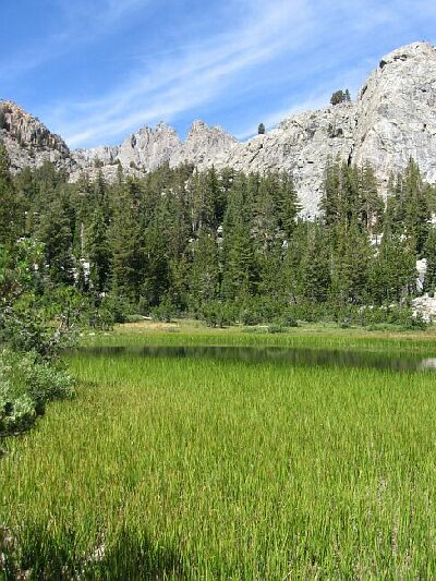
One of the northern lake-ponds is busy turning into a meadow.
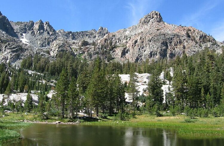
The area was excessively pleasant, especially on a warm day with little wind. There was still plenty of flowers and water, and with all the green, it all looked very spring-like. Few bugs too. I would be sorry to leave the area.