A Backpack Cross-Country Traverse of the Minarets
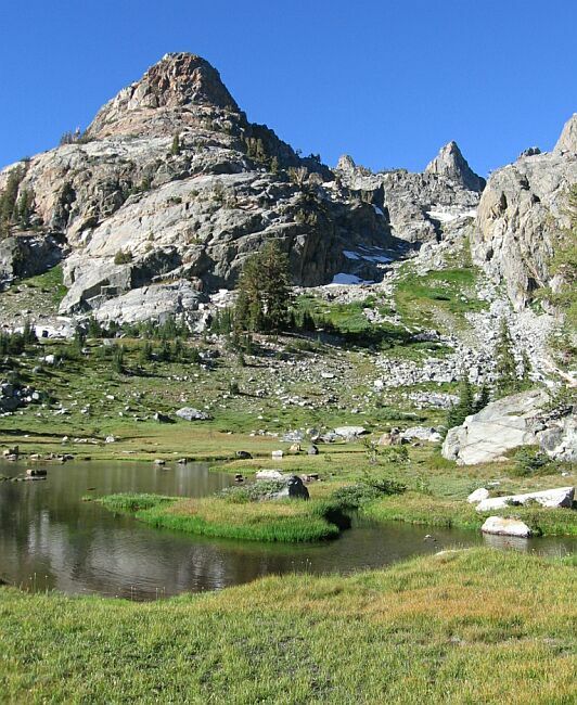
Another excuse to show a picture of the Deadhorse meadow and "The Watchtower".
Back to the Deadhorse Meadow and Down to the Trail
A Cross-Country Traverse of the Minarets, August/September 2006One thing you might notice is a change in the pictures. The picture above was taken with a digital camera, and the picture below was taken by a film camera in 1999. It easy to see the sharp clarity of digital and the soft colors of film. I had intended to do this story in 2000, but never had the chance to finish up this trip till last year, 2006. From here on there will be a mixture of pictures from the two trips.
Back at the Deadhorse meadow we grabbed our packs, and with map in hand, we headed for where the trail meets the stream below to the north-east. The small pond nearby (see the map) was a good orientation point, so we set off downward.This is where we hit the trail where the trail makes a horseshoe loop around a rocky area and nears the stream. (See the map) We came through that green area in the trees on the right. Heading for Deadhorse Lake? Just head to the right of "The Watchtower" (center picture) till you hit the Deadhorse outlet stream, and follow that upwards.
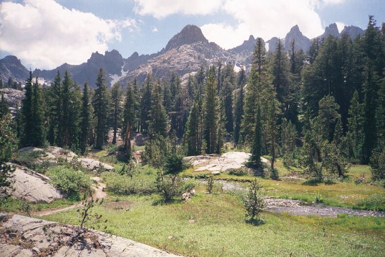
The cross-country could not be more simple with grass ramps to follow most of the way down. We hit some trees with a flat meadow beyond where we found the stream and, what do you know, the trail exactly where I expected it.Further up the trail a ways looking back towards "The Watchtower" and the Deadhorse basin area. I believe there was a camp over there on the right, but there are many of those in this area. See the trail at the bottom of the picture. The weather was a little frisky in the 1999 trip.
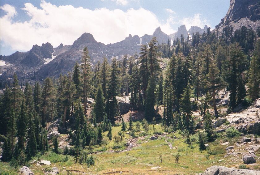
Back in 1999, I had come up from a small lake near the JMT, and I remembered I was getting a bit tired by the time I hit this point of the trail. Traveling all the way up in one day from the TH would be hard work. Coming up from below, the trail is pretty mild, but near (below) where the Deadhorse and Minaret lakes outlets meet, the trail gets markedly steeper and stays that way till it reaches Minaret Lake. Something to look forward to if you are coming from that direction.
We crossed the stream, hit the trail and started the slog upward.


