A Backpack Cross-Country Traverse of the Minarets
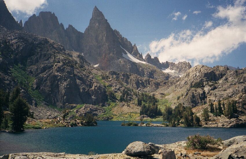
A view north-west from the rock dam revels the spike of Clyde Minaret and the narrow channel between the eastern and western halves of Minaret Lake. Beyond the channel you can see the green swale and trees leading up to the wall that holds back Cecile Lake almost 500 feet above Minaret Lake. You can walk out to that channel island.
Northern Exposures
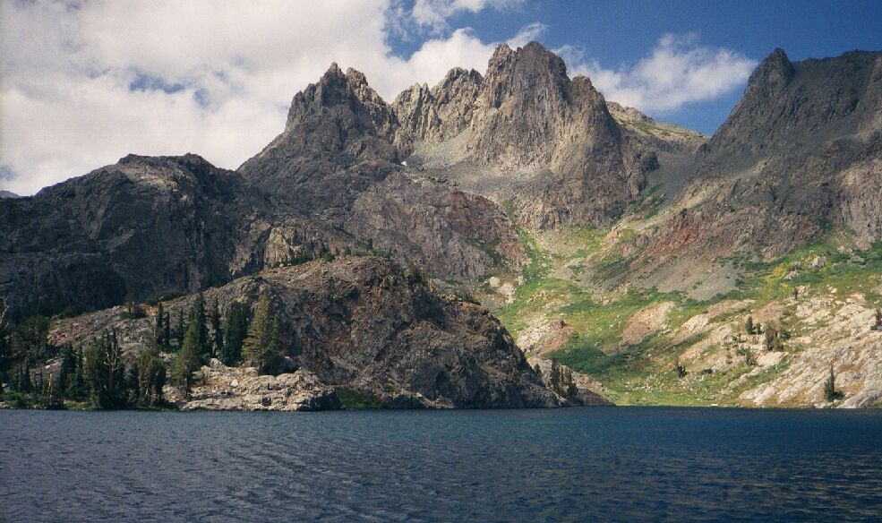
A Cross-Country Traverse of the Minarets, August/September 2006As I walked down the dam, the way began to get a little rougher, but still Class 1 walking. The advantage of doing this stroll is the ever changing views, in particular of the west portion of the lake. Soon I could look across the water to possible camps on the far side of the lake, and better views of the possible travel routes beyond. None of this can be seen from the eastern corner of the lake on the main trail.
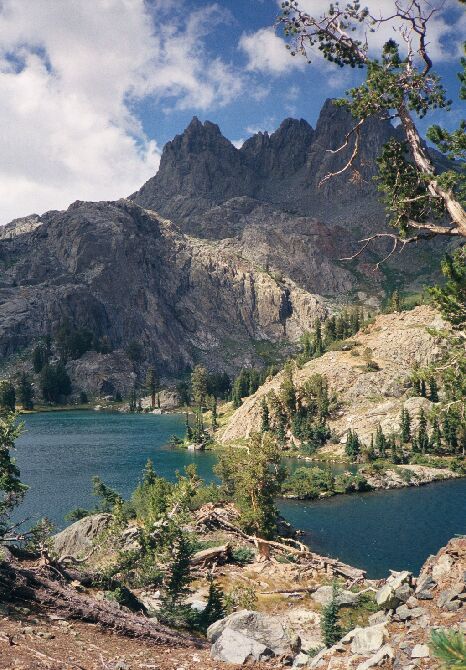
At the end of the rock dam, soil takes over and rises to another platform with trees and ponds. But before going up there, I strolled over to the point where the narrow channel nearly divides the lake in two.Volcanic ridge dominates the north sky over Minaret Lake. Looks like a cross-country route up to the hights of Volcanic Ridge there. Across the water on the bottom left quadrant is the isthmus that divides the lake.
I had no trouble reaching the point and taking in the views all around. It looks like you could almost get across to the island with a good running leap, but it had better be a good one. Pass. Time to head up the hill a ways...Beyond the rock dam the land rises and you you can get a good view to the narrow channel between the lake-halves. Yes, there is a trail over on the other side that goes to the point and island. You can reach the island without hardly wetting your feet.


