A Backpack Cross-Country Traverse of the Minarets
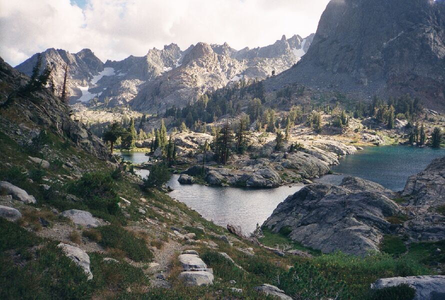
Looking south from the spur trail to the eastern-most lake (see the next page) looking towards the south shore of the lake and Deadhorse Lake. (The main trail is just below.) You can see places to camp mid-picture, and beyond down the dam is where the ponds shown below are (in shadow).
The Lake-Ponds
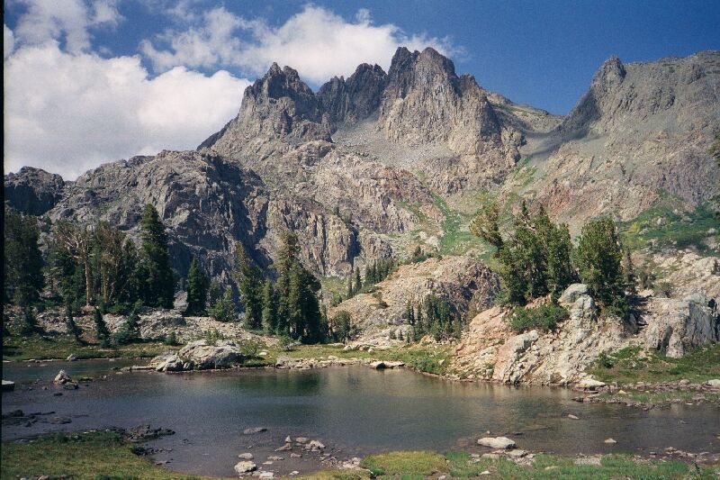
A Cross-Country Traverse of the Minarets, August/September 2006Back in the south corner of the lake on an elevated platform are ponds that fluctuate in size from year to year. Some years they dry up: I have seen pictures. The pictures below are from 1999, and in the 2006 trip, I could clearly see them from across the lake high up.
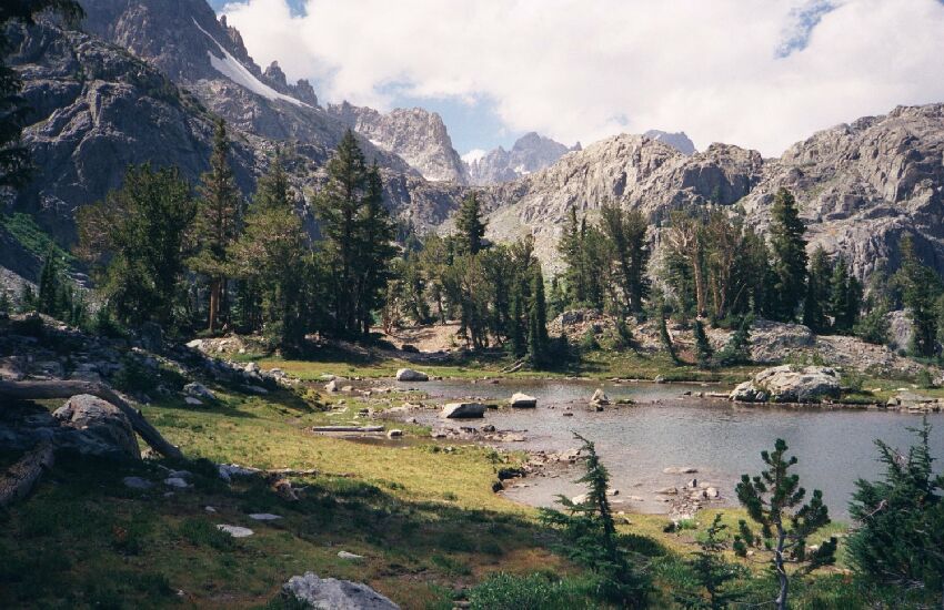
At the south end of the main lake are some ponds, and this is one of them. They vary in size depending on how wet or hot the seasons. The picture above is looking towards Cecile Lake north-west. The one below is looking north from near the same spot, with Volcanic Crest in the background. You can see some of the lake-dividing hump mid-picture. There is some camping in this area, but I would filter or boil the water if you have to use it.
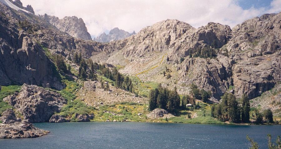
Eventually I made my way back to the main trail where we pick up on the progress of the main trip.Here I am on the south shore of Minaret Lake, looking north-west. In the trees on the right far shore is an extensive camp site (and more in the other clump of trees). The yellow line shows the general path of the crude use trail to Cecile Lake.


