A Backpack Cross-Country Traverse of the Minarets
From the trail looking along the dam through a small bay, we could see people on the dam, and plainly here a blue tent.
Turning the Lake
A Cross-Country Traverse of the Minarets, August/September 2006If you get to the lake and think your trail-climbing is over for the day, think again. Not if you plan to go to the far shore. Right after you get to the lake, the trail climbs steeply again to get over at least 40 feet of rock ridge.
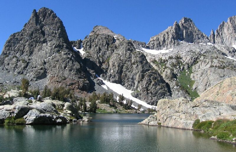
From a rock ridge above the lake on the trail, we got a good view of the central "island" that divides Minaret Lake. Clyde Minaret and its distinctive red spot rises above Minaret Lake and hidden Cecile Lake.
After the rock ridge it lowers down to the lake on somewhat tricky trail you have to watch your step on. Then you edge the lake until you have to find a way over a shoulder high rock rib (see below).
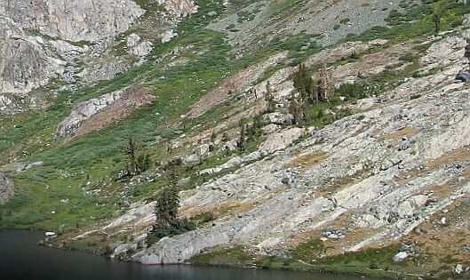
After the rib, the trail climbs slowly again and meanders around till you have to go up some rock steps to a broad extensive platform. Here you will find a grove of trees and the neck of the lake dividing peninsula. On your right you will see the second largest lake in the basin with its distinctive island. Just beyond the lake and grove of trees, the trail descends back down to near lake level. If you can find some camping, your day of hard hiking is over.The trail edges the lake in this area, but comes up on a shoulder high ridge of rock. The solution is to go straight up the slope until you can step on the rock ridge on the left and follow it back down to the trail.
For us, the day was young still, and we had plenty to do yet.
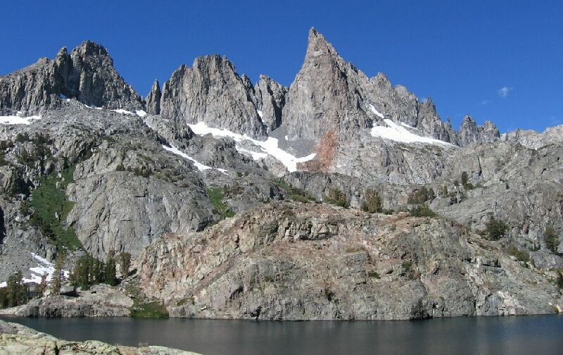
The second largest lake in the Minaret Lake basin. in the north-west corner. You can find a way over to the island on the far side of the island. Above, a possible cross-country route to Volcanic Crest.


