The Ottoway Lakes Loop

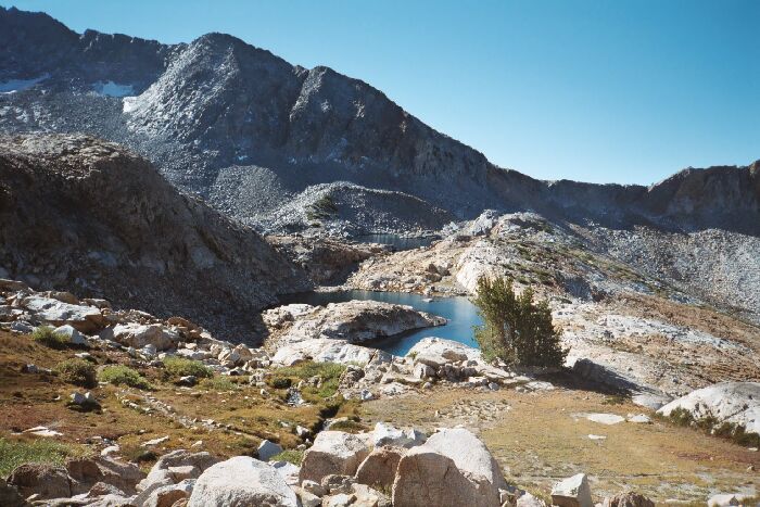
As I climbed higher, both Upper Ottoway Lakes came into view. Note the trail going from left to right. There is a nice small high altitude bivy-camp in the shade of those trees, with a stream nearby for water. Nice.
The First "Step"
The Ottoway Lakes Loop, September 2004Back on the trail, the trail turns a bit nasty pulling up into the narrow valley below the pass on steep steps and stairs. Abruptly the trail levels out in a level grassy meadow area (a glacier step), inviting the hiker to look up at the clearly visible pass and wonder how the heck the trail gets up to that col.
I see the pass, but where is the trail? The pass is almost exactly mid-picture, that "U" shaped gray-white notch. Red Peak is to the left. Really, there is a lot of trail in this picture.
I fully expected the trail to get very rocky among the abundant talus, but I was fooled and the trail remained fairly smooth and hard-packed. The well-engineered trail avoids the worst of the talus (though missing a shortcut through a rock free canyon bottom section (snow choked early season?)), passing through colorful red rock talus to the pass and its gray granite talus.