The Ottoway Lakes Loop

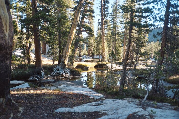
The view near my camp. About mid-picture you can just make out an iron Yosemite trail sign. The water is the Triple Divide Fork creek.
Triple Divide Fork Junction
The Ottoway Lakes Loop, September 2004 Day 4: September 25: Triple Peak Fork trail junction to Merced Lake Ranger Station junction: 9.8 miles, 548 foot gain, 2359 foot loss, (H->10.3m).It was a good thing I wore my pile clothes and down booties to bed, because the night got cold with a vengeance. By morning, only my nose was poking out of my sleeping bag. When it got light enough I was up and packing in the morning cold, wearing everything I had to keep warm. There was frost on the grass and ice in the nearby pools, so I kept moving. About the time the sun hit camp, it had warmed up considerably, and I was ready to go.
The Post Peak Pass trail crosses the stream (a step-across this late), but my trail stayed on the west side of the stream and headed north. The previous year I had come over Isberg Pass on an early season trip to the Lyell Fork, but a rainstorm and lack of time forced us back over the pass after staying a day in this basin. Without a doubt, this whole basin and the far views looks outstanding and wild.

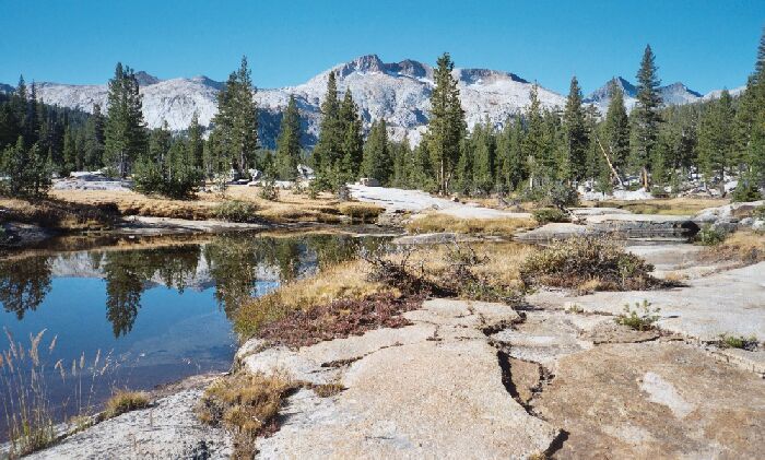
Looking back up-canyon, I got a good view of Triple Divide Peak over the waters of the Triple Divide Fork. On the right horizon is Merced Peak
I was trying to fit in the "High Trail" to Lyell Fork into my trip, but after seeing it from Red Peak Pass, I resolved that I wanted to visit that area and explore, not just blow through it. That, and the fact I could not make the time and distance work out without a 16+ mile day. Water was another issue I would have to deal with, and the "High Trail" is said to be mostly viewless. Either route I could take to Merced Lake would be (mostly) new trail for me, and I supposed correctly that the Triple Peak Fork trail would be more scenic. I am determined to visit the Lyell Fork soon, probably next year, the only question is if I do it from Yosemite or from over Post Peak Pass. We will see.
Back on the trail and feeling good, I bid farewell to the trail junction park and the steel Yosemite signs and headed north. At first the trail undulated back and forth and up and down in shaded forest, but soon broke out into glorious open sun drenched meadows and slab granite pavements framed by high forested canyon walls. The clear waters of the Triple Peak Fork mostly pooled or flowed sluggishly by, and more than once I startled a trout or two in the transparent glassy water. Looking back in the open areas I could see the peaks and ridges at the head of the canyon while the downstream views featured canyon walls and a few granite features easily identifiable on the map. I am sure early season there would be some very large pools and lakelets to grace the canyon, but they were all on the dry and grassy side this late in the season. Going up or down canyon in this segment of trail would be a breeze in either direction because the trail was practically level and easy on the feet.