The Ottoway Lakes Loop

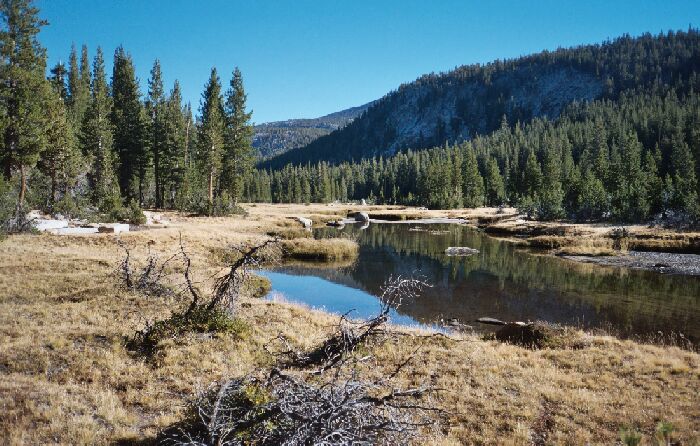
A typical section of the Triple Divide Fork Canyon, which in many places reminded me of Lyell Canyon, which is also just beyond those hills yonder. The ridge on the right hides the High Trail. This is easy trail country.
Triple Divide Fork Canyon Walk
The Ottoway Lakes Loop, September 2004Many a times the trail would arrow through level grass open areas allowing me to stop and look around and get my bearings for a map study. I wanted to get an idea of the length of the "High Trail" and see how convoluted it certainly would be. My conclusion is that it would be shaded but a real Sierra rollcoaster, and in the end very doable. At Foester Creek, it looked like one could just walk up to the trail through the trees, despite the fact I could not see what the trees might be hiding. An early season stream crossing of Foester Creek on the "High Trail" may be a problem, but a cross-county bypass and crossing of the creek tributaries may be very possible. Lots of options. I am already planning…
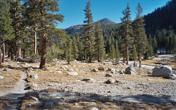
 Nearing the end of this section of canyon, the terrain begins to slope more steeply downward. To the right of mid horizon is point 11210, which overlooks Lyell Fork canyon and "Foerster Lake" just off the High Trail.
The easy hiking in the canyon made the canyon stream swiftly by. One spot in particular was very nice. In a very open picturesque area of flat granite with a scattering of Glacier erratics the stream came close to the trail before elbowing back to the center of the canyon. There were a few nice granite slab cascades nearby and easy access to water made it a good watering spot.