The Ottoway Lakes Loop

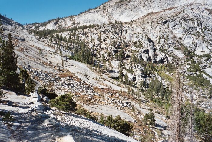
As I continued downward I kept stopping to examine the cross-country route up-canyon. The trail swung wildly around the bottom of Merced Peak Fork before finally heading down the canyon to the open slab pavements with their long rows of trail-marker rocks curving downward. In many places 10 to 20 meter tall trees had managed to grow in mere cracks and breaks in the near solid granite, doing their job in their attempt to change the world. Like a plane coming in for a landing, the trail swooped down on granite slopes to the level forest floor below and disappeared into the trees. Once in the trees, the trail crossed the Merced Peak Fork on a small wooden bridge.Another shot of the Merced Peak Fork canyon where the trail (seen here) loops around back down the canyon. The cross country up that canyon looks very manageable. You can see the trail below on the bottom right quarter.
Merced Peak Fork Canyon and Bridge
The Ottoway Lakes Loop, September 2004The trail really began to lose altitude now, and would lose about 1000 feet by the time it got to the second bridge below. After a few switchbacks the trail got to the point of heading over to what looked like a sheer cliff. I actually stopped and wondered just how the heck the trail would make its way down into the canyon. I figured, "Well, wherever it takes me…" and stepped off. The trail headed for a notch and began to traverse a joint that had been widened by a lot of dynamite blasting of the solid granite. This section was a lot rougher trail, but I did not blame it considering what it had to go through to become a trail.
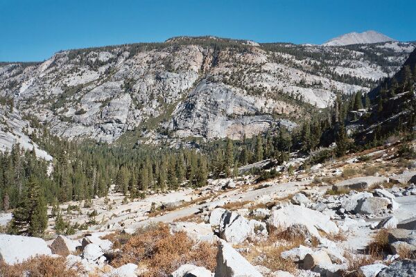
 Looking down on the junction of five canyons. Lyell Fork canyon is on the right, below Mt. Florence.