The Ottoway Lakes Loop

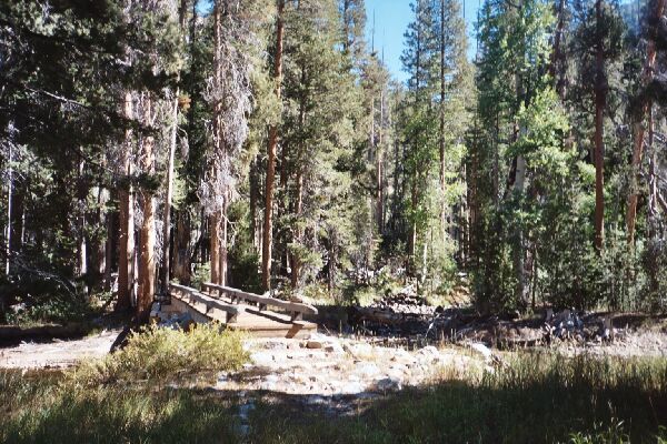
Suddenly the real high country was behind me and it was time to enter deep forest at the Merced River bridge. To the right of the bridge, the Lyell Fork stream joins the river.
Merced River Bridge
The Ottoway Lakes Loop, September 2004 It was quite warm by then, and the reflection of sunlight off the exposed granite really heated me up, so it was of some relief when the trail finally steeply hit bottom, leveled out and plunged into deep forest. Shortly after that I reached the second bridge of the day near the inlet of the Lyell Fork. I dropped my pack, got out my chair and prepared to have lunch.I looked around some and tried to figure out if one could get up the Lyell Fork canyon from there, and once across the Lyell Fork creek, it actually looked like it could be done. I will take a look at this route from the top near the High Trail if I ever get a chance.
Nearby was a large good camp with a fire ring. There was no shortage of deadfall for fires there, that was for sure. The forest was very dense and the floor was just piled with deadfall. A forest fire may change all that.
Just beyond the deep forest bridge camp, the view suddenly opens up to this fine vista of point 9296. Note the fall colors, and the cut in the rock that drains a small lake up there.
After a good rest, exploration of the area and fetching some good water from the Lyell Fork, which was coming down in a good flow, I mounted up and headed off down canyon in deep forest.