A Solo Hike Along the Silver Divide

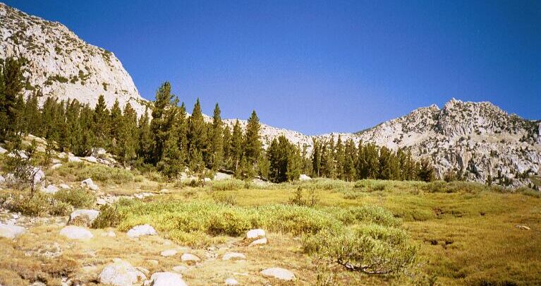
The trail heads for base of the peak on the right, and to the right of a band of cliffs, seen above.
The Source of Cold CreekSilver Divide Trip from Edison Lake Trailhead, August 2001
At one point the trail broke out into the open near the stream, and I decided to replenish my water once again. It was a nice open grass-covered area, with a great view of the end of the canyon which was finally in view. The small stream sang and danced gaily along from small pool to small pool. Looking up-trail, above me to the left was the tree studded steep slope and cliff the trail was headed for. Looking at the map I could see that the cliff was a false summit, with the real summit hidden behind the cliffs. Somewhere up there the trail mounted the cliffs and went beyond, but from my watering spot, I could not see where the trail was going. Had I know how hard the going was going to be, I would have rested longer.
Near the source of Cold Creek and looking towards the false pass above Chief Lake, which is on the other side.
After a snack and drinking my fill and topping off my water (making my pack heavier), I threw the beast back on my back and headed up the trail. It was just as hard as it looked, though at first the trail continued its right-hand traverse.